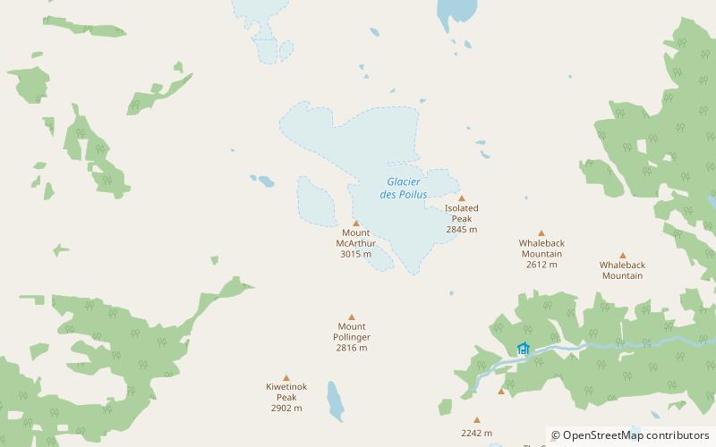
Mount McArthur, Yoho-Nationalpark
Karte
Fakten und Informationen
Mount McArthur ist ein Berg im Yoho-Nationalpark in British Columbia, Kanada. Er wurde 1886 von Otto Koltz nach James J. McArthur benannt, einem Landvermesser, der die kanadischen Rocky Mountains für die Canadian Pacific Railway kartierte.
Erster Aufstieg: 1891Höhenlage: 9911 ftDie Prominenz des Gipfels: 725 ftKoordinaten: 51°32'26"N, 116°35'46"W
Adresse
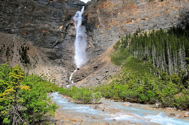
Yoho-Nationalpark
KontaktHinzufügen
Soziale Medien
Hinzufügen
Tagesausflüge