Foxtrap Harbour Authority, Conception Bay South

Galerie (1)
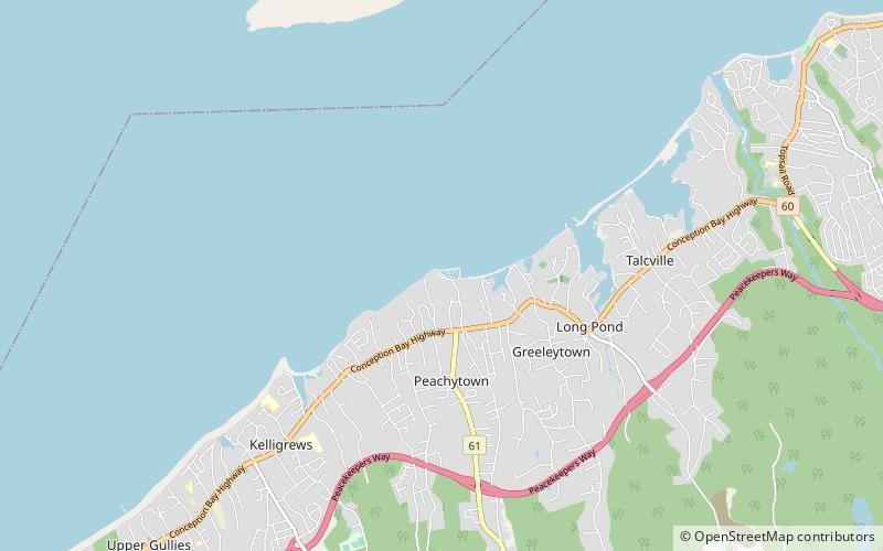
Karte
Karte
Fakten und Informationen
Foxtrap Harbour Authority ist eine Attraktion in Conception Bay South (Provinz Newfoundland and Labrador) und gehört zur Kategorie Segeln, Yachthafen.
Es liegt auf einer Höhe von 0 ft, und seine geographischen Koordinaten sind 47°30'47"N Breite und 52°59'56"W Länge.
Koordinaten: 47°30'47"N, 52°59'56"W
Adresse
FoxtrapConception Bay South
KontaktHinzufügen
Soziale Medien
Hinzufügen