Lorelei, Edmonton
Fakten und Informationen
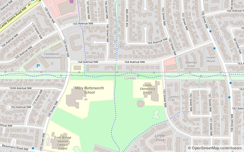
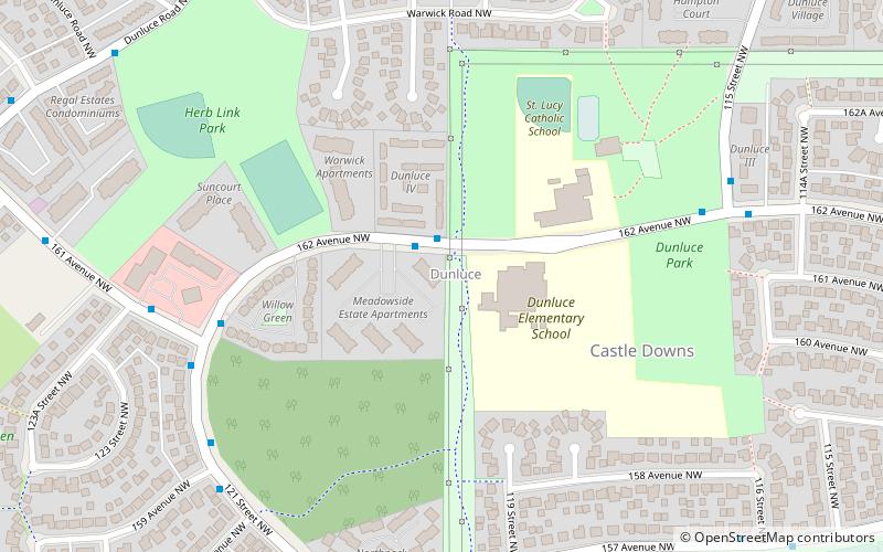
Lorelei ist ein Wohnviertel im Stadtteil Castledowns im Norden von Edmonton, Alberta, Kanada.
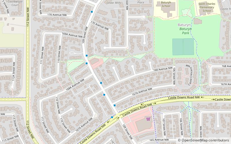
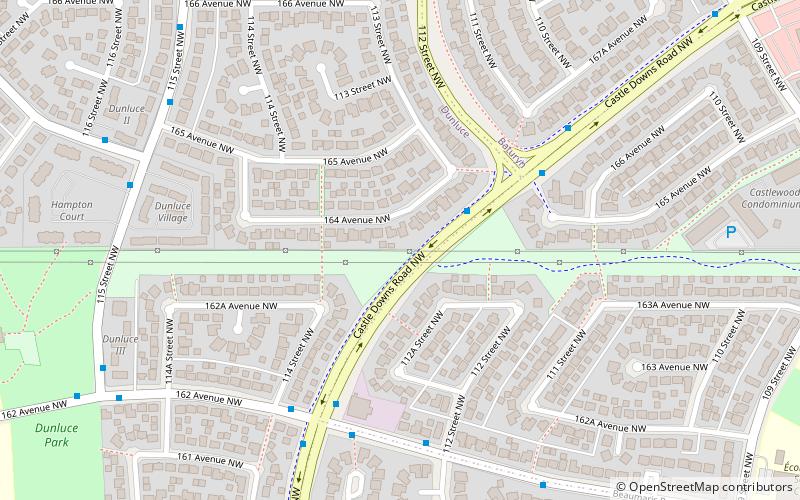
Es wird im Norden und Westen von der Castledowns Road, im Osten von der 97 Street und im Süden von der Beaumaris Road und der 160 Avenue begrenzt. Im Norden führt die 97 Street an der CFB Edmonton vorbei, die sich nördlich der Stadt befindet. Im Süden führt die 97 Street am Northern Alberta Institute of Technology vorbei ins Stadtzentrum.
Die meisten Häuser im Viertel wurden in den 1970er und 1980er Jahren gebaut, wobei es sich um eine Mischung aus Einfamilienhäusern, Reihenhäusern, begehbaren Wohnungen in Gebäuden mit fünf oder weniger Stockwerken und Doppelhaushälften handelt. Ungefähr drei von vier Wohnungen werden von den Eigentümern selbst bewohnt.
Die Gemeinde wird von der 1978 gegründeten Lorelei-Beaumaris Community League vertreten, die einen Gemeindesaal und eine Eisbahn im Freien an der 103 Street und 162 Avenue unterhält.
Northwest Edmonton (Lorelei)Edmonton
- Busse
 Busse
Busse
- Bestimmen Sie die RouteCastle Downs Bus Station 20 Min. Fußweg
- Bestimmen Sie die RouteCastle Downs Transit Centre 20 Min. Fußweg
- Bestimmen Sie die RouteCastle Downs Bus Terminal 20 Min. Fußweg

Häufig gestellte Fragen (FAQ)
Welche beliebten Attraktionen gibt es in der Nähe?
Wie kommt man mit öffentlichen Verkehrsmitteln dorthin?
Busse
- Castle Downs Bus Station (20 Min. Fußweg)
- Castle Downs Transit Centre (20 Min. Fußweg)