Barnston Island, Surrey
Fakten und Informationen
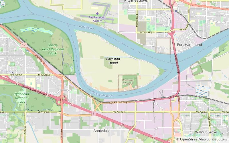
Barnston Island ist eine Insel ohne eigene Rechtspersönlichkeit, die im Großraum Vancouver in British Columbia, Kanada, liegt. Der größte Teil der Insel ist Teil des Wahlgebiets A von Greater Vancouver; der Rest ist das Barnston Island Indian Reserve No. 3, das außerhalb der Grenzen des Wahlgebiets A liegt und unter der Verwaltung der Katzie First Nation steht, die ihren Sitz auf der anderen Seite des Flusses in ihrem Hauptreservat in Pitt Meadows hat. Obwohl die Insel nicht eingemeindet ist und offiziell zu keiner Gemeinde gehört, wird in den Postadressen auf der Insel Surrey als Stadtname verwendet.
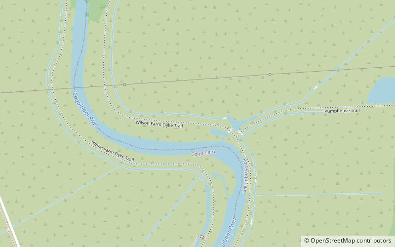
Barnston Island liegt im Fraser River zwischen Surrey und Pitt Meadows und wurde 1827 nach dem Angestellten der Hudson's Bay Company, George Barnston, benannt. Die Insel hat keinen direkten Straßenzugang zum Rest der Region. Man erreicht sie mit der Barnston Island Ferry, einer kurzen 5-minütigen Fährverbindung von Surrey über die 104 Avenue und den Parson's Channel. Die Hauptstraße von Barnston Island führt am Rand der Insel entlang.
Barnston Island besteht größtenteils aus Ackerland und hat eine Gesamtbevölkerung von 155 Menschen, von denen 46 im Barnston Island 3 Indianerreservat leben, das sich im südöstlichen Teil der Insel befindet. Statistics Canada definiert die Insel als Vancouver CMA Census Tract 0251.00 von British Columbia.
Surrey
Barnston Island – beliebt in der gegend (entfernung vom objekt)
In der Nähe befinden sich unter anderem Attraktionen wie: Guildford Town Centre, Willowbrook Shopping Centre, Langley Events Centre, Golden Ears Bridge.
Häufig gestellte Fragen (FAQ)
Wie kommt man mit öffentlichen Verkehrsmitteln dorthin?
Fähre
- Barnston Island • Linien: Barnston Island Ferry (24 Min. Fußweg)
- Port Kells • Linien: Barnston Island Ferry (27 Min. Fußweg)
Busse
- 96 Ave at 188 St • Linien: 388, 501 (28 Min. Fußweg)


