East Bayfront, Toronto
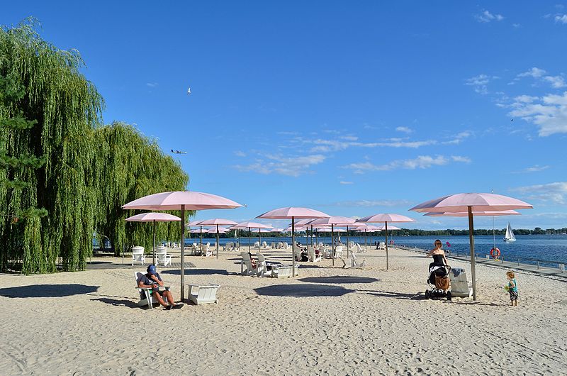
Fakten und Informationen
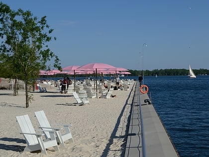
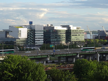
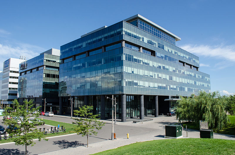
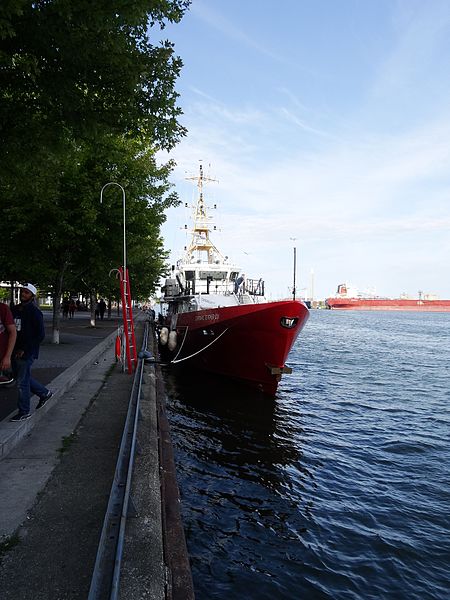
East Bayfront, auch East Bayfront Precinct genannt, ist ein aufstrebendes Viertel in Toronto, Ontario, Kanada. Es wird derzeit im Rahmen der Pläne von Waterfront Toronto zur Schaffung eines Wohn- und Geschäftsviertels in der Nähe des Sees von einer industriellen Nutzung in eine gemischte Nutzung umgewandelt.
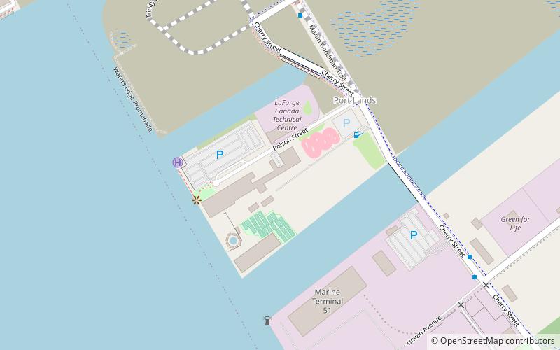
Das Gebiet wird im Osten von der Parliament Street, im Westen von der Jarvis Street und dem Jarvis Slip und im Norden von der Bahnlinie und dem Gardiner Expressway begrenzt.
Das Gebiet hat eine Größe von 15,5 Hektar. Das Gebiet wurde im 19. und 20. Jahrhundert aufgeschüttet, um das Wachstum von Unternehmen zu ermöglichen, die Zugang zum Wasser benötigten.
Downtown Toronto (East Bayfront)Toronto
East Bayfront – beliebt in der gegend (entfernung vom objekt)
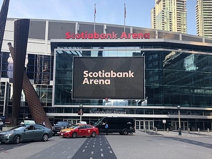
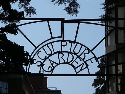
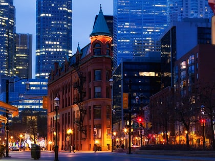
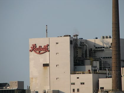
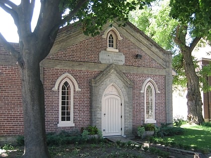
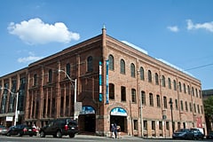
In der Nähe befinden sich unter anderem Attraktionen wie: Rebel, Scotiabank Arena, St. Lawrence Market, Sony Centre for the Performing Arts.
Häufig gestellte Fragen (FAQ)
Welche beliebten Attraktionen gibt es in der Nähe?
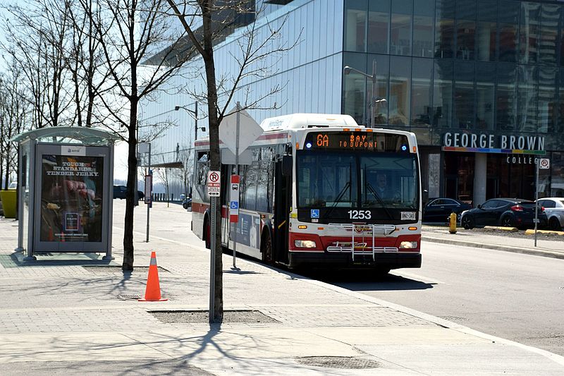
Wie kommt man mit öffentlichen Verkehrsmitteln dorthin?
Busse
- Lake Shore Boulevard East • Linien: 75 (3 Min. Fußweg)
- Richardson Street • Linien: 19, 75 (4 Min. Fußweg)
Straßenbahnen
- Sherbourne Street • Linien: 503, 504A, 504B (13 Min. Fußweg)
- Ontario Street • Linien: 503, 504A, 504B (13 Min. Fußweg)
Fähre
- Jack Layton Ferry Terminal • Linien: Toronto Island Ferry, Ward's Island (16 Min. Fußweg)
- Ward's Island • Linien: Ward's Island (26 Min. Fußweg)
Metro
- King • Linien: 1 (19 Min. Fußweg)
- Union • Linien: 1 (20 Min. Fußweg)
Bahn
- Toronto Union Station (21 Min. Fußweg)


 Metro
Metro Straßenbahn
 PATH
PATH
