Trek Zone

Mount Pearl North, Mount Pearl

Nr. 2 unter den Attraktionen in Mount Pearl

Nachbarschaft
Mount Pearl North location map
Karte

Fakten und Informationen

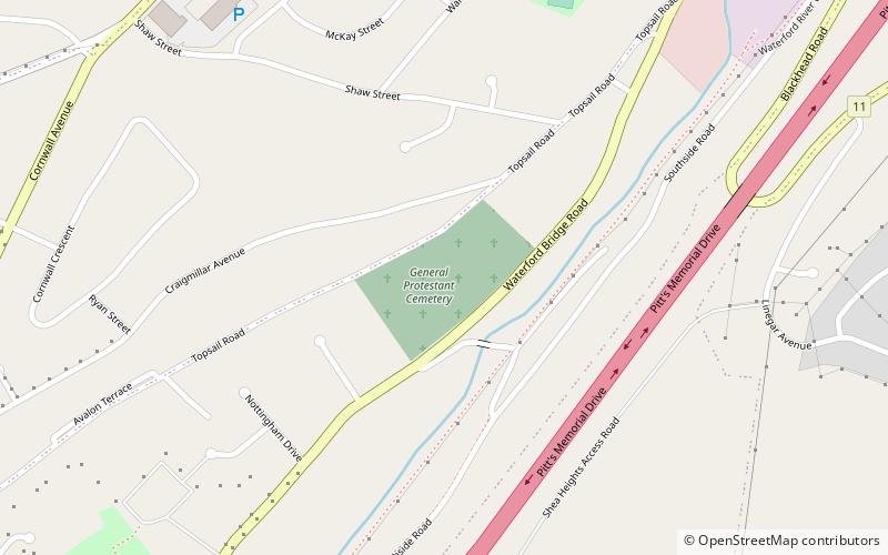
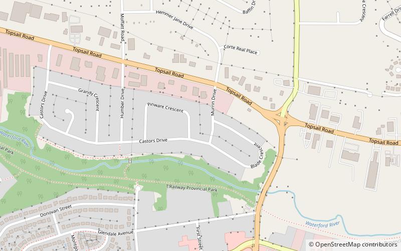
Mount Pearl North, früher bekannt als Waterford Valley, ist ein Provinzwahlbezirk für das House of Assembly von Neufundland und Labrador, Kanada. Im Jahr 2011 lebten 9.622 Wahlberechtigte in diesem Bezirk.

Dieser Vorstadtbezirk umfasst den nördlichen Teil der Stadt Mount Pearl und einen Teil der Stadt St. John's. Der Bezirk wurde 2007 aus 79 Prozent des alten Bezirks Waterford Valley und kleineren Teilen der Bezirke Mount Pearl und Topsail gebildet. Im Jahr 2015 wurde der Bezirk neu eingeteilt.

Koordinaten: 47°31'26"N, 52°48'36"W
Adresse

Commonwealth GardensMount Pearl Kanada

KontaktHinzufügen
Soziale Medien
Hinzufügen
Tagesausflüge

Mount Pearl North – beliebt in der gegend (entfernung vom objekt)

In der Nähe befinden sich unter anderem Attraktionen wie: Avalon Mall, Mary Brown's Centre, George Street United Church, General Protestant Cemetery.

  • avalon mall st johns3.7 miNE
  • mary browns centre st johns5.2 miNE
  • george street united church st johns5.1 miNE
  • general protestant cemetery st johns location map
    4.2 miE
  • railway coastal museum st johns5 miNE
  • bowring park st johns2.6 miE
  • st patricks church st johns4.8 miNE
  • memorial university of newfoundland botanical garden st johns location map
    4.1 miNE
  • arts and culture centre st johns5.2 miNE
  • long pond st johns5.2 miNE
  • admiralty house mount pearl location map
    1.5 miSE

Wohin als nächstes? Gehen Sie auf die Seite der Region newfoundland and labrador Newfoundland and Labrador oder sehen Sie sich alle Orte und Sehenswürdigkeiten in Kanada an.