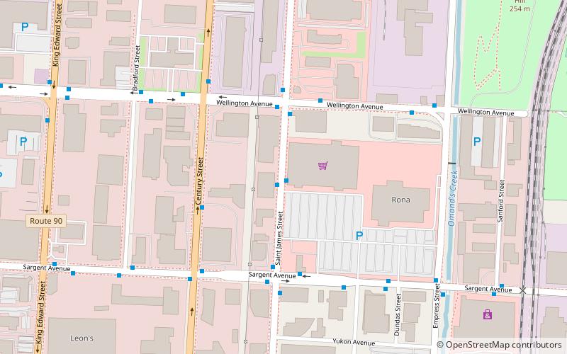
St. James Street, Winnipeg

Karte
Fakten und Informationen
St. James Street ist eine Hauptstraße in der Stadt Winnipeg, Manitoba, Kanada. Sie ist eine stark befahrene Straße, die die Portage Avenue, den Polo Park und das St. James Industriegebiet miteinander verbindet.
Koordinaten: 49°53'59"N, 97°12'0"W
Adresse
Saint James-AssiniboiaWinnipeg
KontaktHinzufügen
Soziale Medien
Hinzufügen
Tagesausflüge
St. James Street – beliebt in der gegend (entfernung vom objekt)
In der Nähe befinden sich unter anderem Attraktionen wie: Royal Aviation Museum of Western Canada, Polo Park, The Queen's Own Cameron Highlanders of Canada Museum, Kid City - Century Street.
Häufig gestellte Fragen (FAQ)
Welche beliebten Attraktionen gibt es in der Nähe?
Zu den nahe gelegenen Attraktionen gehören. Kid City - Century Street, Winnipeg (5 Min. Fußweg), Valour Road, Winnipeg (20 Min. Fußweg).
Wie kommt man mit öffentlichen Verkehrsmitteln dorthin?
Bahnhöfe und Haltestellen in der Umgebung von St. James Street:
Busse
Busse
- Northbound St James at Superstore • Linien: 77 (1 Min. Fußweg)
- Southbound St James at Superstore • Linien: 77 (1 Min. Fußweg)


