Trek Zone

Sunrise Lake

Nr. 1301 in der Beliebtheitsskala in Kanada

See
Sunrise Lake location map
Karte

Fakten und Informationen

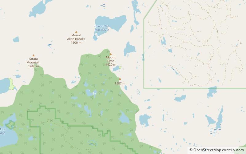
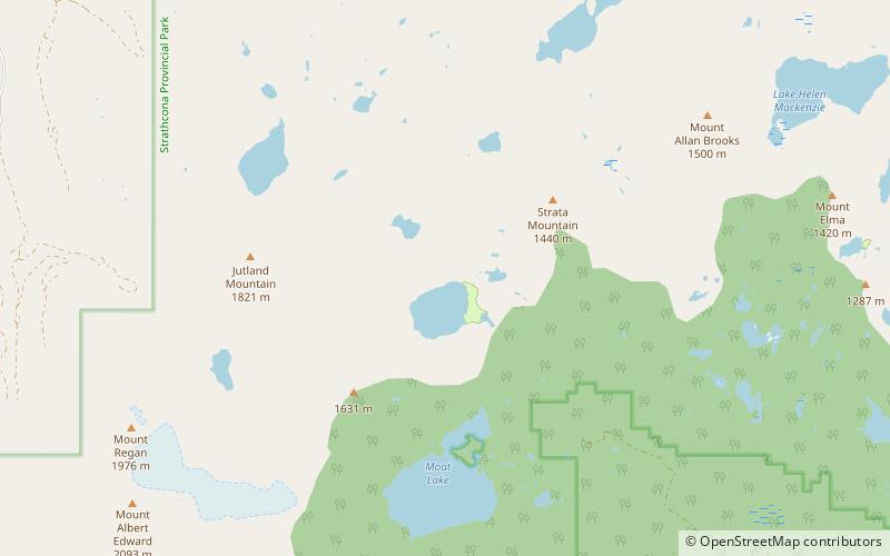
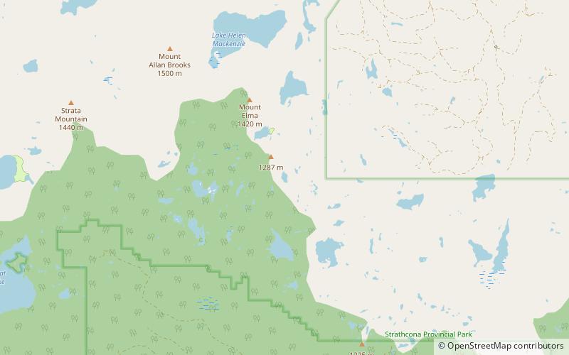
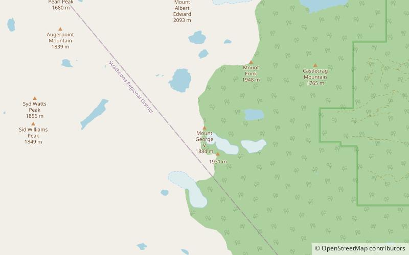
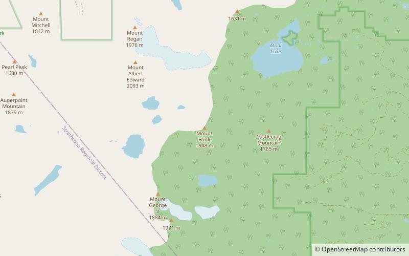
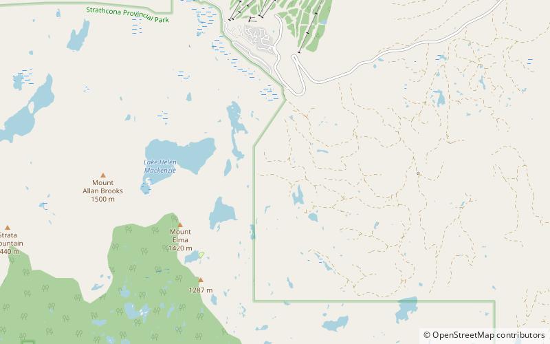
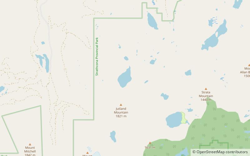
Sunrise Lake ist ein See auf Vancouver Island nördlich von Mount Albert Edward in der Nähe der Mündung des Oyster River im Strathcona Provincial Park.

Höhe: 4665 ft ü. d. M.Koordinaten: 49°42'42"N, 125°24'40"W
Lokalisierung

British ColumbiaKanada

KontaktHinzufügen
Soziale Medien
Hinzufügen
Tagesausflüge

Sunrise Lake – beliebt in der gegend (entfernung vom objekt)

In der Nähe befinden sich unter anderem Attraktionen wie: Mount Washington Alpine Resort, Croteau Lake, Circlet Lake, Ball Lake.

  • mount washington alpine resort5.5 miNE
  • croteau lake location map
    4.3 miE
  • circlet lake location map
    1.5 miSE
  • ball lake location map
    4.4 miE
  • mount albert edward2.5 miS
  • lake beautiful location map
    4 miSE
  • castlecrag mountain3.6 miS
  • jutland mountain0.7 miS
  • mount george v location map
    4.4 miS
  • mount frink location map
    3.3 miS
  • battleship lake location map
    5 miE

Wohin als nächstes? Gehen Sie auf die Seite der Region british columbia British Columbia oder sehen Sie sich alle Orte und Sehenswürdigkeiten in Kanada an.