Trek Zone

Mount Mangin, Height of the Rockies Provincial Park

Nr. 6 unter den Attraktionen in Height of the Rockies Provincial Park

Berg
Mount Mangin location map
Karte

Fakten und Informationen

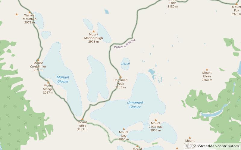
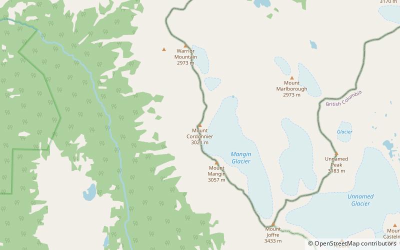
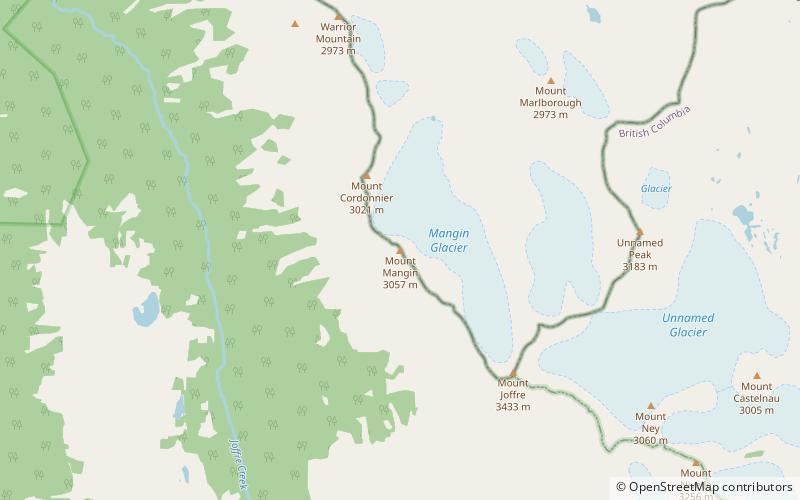
Der Mount Mangin befindet sich an der Grenze zwischen Alberta und British Columbia an der Kontinentalscheide. Er wurde 1918 nach dem französischen General Charles Mangin benannt.

Koordinaten: 50°32'31"N, 115°13'35"W
Adresse

Height of the Rockies Provincial Park Kanada

KontaktHinzufügen
Soziale Medien
Hinzufügen
Tagesausflüge

Mount Mangin – beliebt in der gegend (entfernung vom objekt)

In der Nähe befinden sich unter anderem Attraktionen wie: Mount Sarrail, Warrior Mountain, Upper Kananaskis Lake, Mount Lyautey.

  • mount sarrail3.7 miNE
  • warrior mountain height of the rockies provincial park1.8 miN
  • upper kananaskis lake6.1 miNE
  • mount lyautey4.2 miN
  • elk lakes elk lakes provincial park location map
    5.6 miE
  • mount northover3.3 miN
  • mount foch3.8 miNE
  • mount petain elk lakes provincial park location map
    1.8 miE
  • mount cordonnier location map
    0.6 miNW
  • defender mountain height of the rockies provincial park4.9 miNW
  • mount nivelle height of the rockies provincial park location map
    2.7 miSE

Wohin als nächstes? Gehen Sie auf die Seite der Region british columbia British Columbia oder sehen Sie sich alle Orte und Sehenswürdigkeiten in Kanada an.