Trek Zone

Symons Valley, Calgary
Nr. 235 unter den Attraktionen in Calgary

Nachbarschaft
Symons Valley location map
Karte

Fakten und Informationen

Symons Valley ist ein Wohngebiet im nordwestlichen Quadranten von Calgary, Alberta, Kanada, das zahlreiche Stadtteile umfasst. Es wird im Norden von der Stadtgrenze zu Rocky View County, im Süden vom Stoney Trail und im Westen vom Sarcee Trail begrenzt. Es wird von der Symons Valley Road halbiert, die in den Highway 772 übergeht.

Sie wird im Stadtrat von Calgary von den Stadträten der Bezirke 2 und 3, Joe Magliocca und Jim Stevenson, vertreten.

Koordinaten: 51°9'27"N, 114°8'55"W
Adresse

Northwest Calgary (Sherwood)Calgary Kanada

Kontakt
Soziale Medien
Hinzufügen
Tagesausflüge

Symons Valley – beliebt in der gegend (entfernung vom objekt)

In der Nähe befinden sich unter anderem Attraktionen wie: Northland Village Mall, Calgary Alberta Temple, Nose Hill Park, Silver Springs Golf & Country Club.
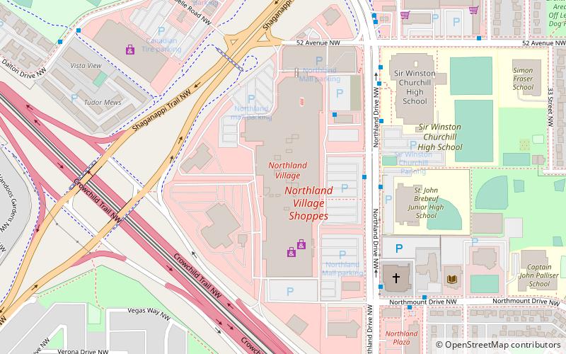
  • northland village mall calgary location map
    4.1 miS
  • calgary alberta temple3.8 miW
  • nose hill park calgary3.5 miSE
  • silver springs golf country club calgary4.4 miS
  • arbour lake calgary2.9 miSW
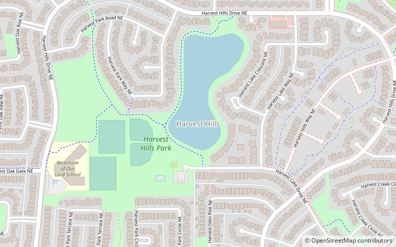
  • harvest hills calgary location map
    4.2 miE
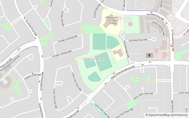
  • scenic acres calgary location map
    4 miSW
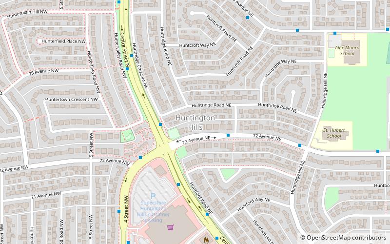
  • huntington hills calgary location map
    4.4 miSE
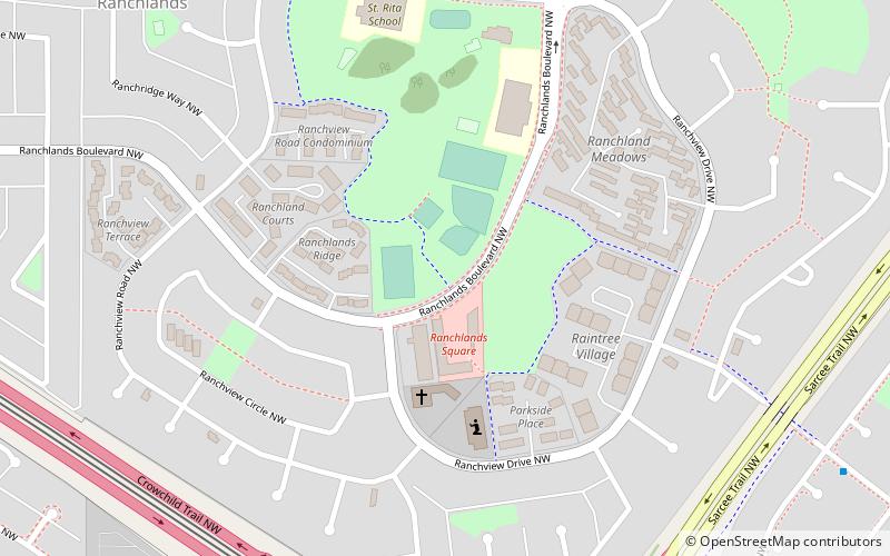
  • ranchlands calgary location map
    3.1 miSW
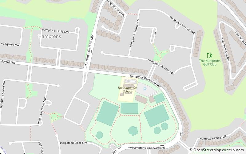
  • hamptons calgary location map
    0.9 miS
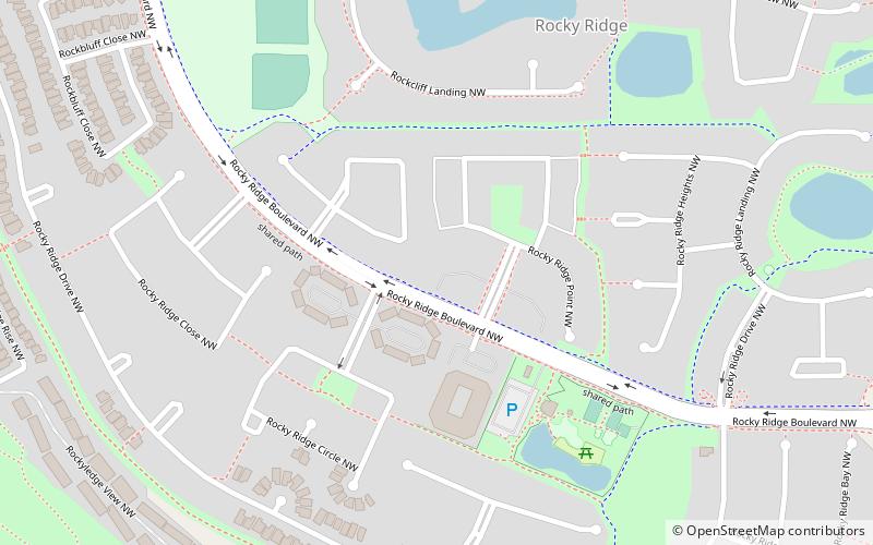
  • rocky ridge calgary location map
    4.2 miW

Wohin als nächstes? Gehen Sie auf die Seite der Region alberta Alberta oder sehen Sie sich alle Orte und Sehenswürdigkeiten in Kanada an.