Paget Peak, Yoho-Nationalpark
Nr. 17 unter den Attraktionen in Yoho-Nationalpark
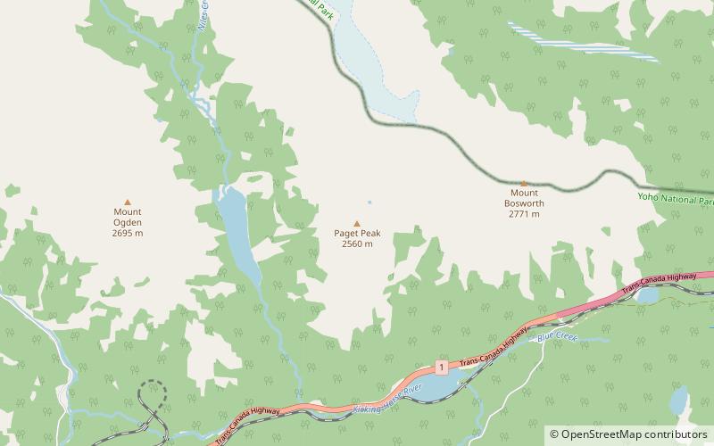
Fakten und Informationen
Paget Peak ist ein Berg im Yoho-Nationalpark in British Columbia, Kanada. Er ist über einen Wanderweg leicht erreichbar.
Yoho-Nationalpark Kanada
Paget Peak – beliebt in der gegend (entfernung vom objekt)
In der Nähe befinden sich unter anderem Attraktionen wie: The Beehive, Sherbrooke Lake, Mount Niles, Mount St. Piran.
 Natürliche Anziehungskraft, Berg, Geologische Formation
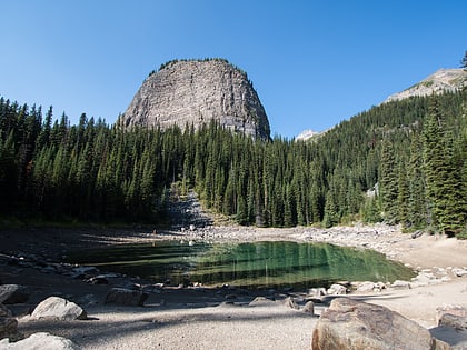
The Beehive, Lake Louise
154 Min. Fußweg • Der Beehive ist ein Berg im Banff National Park in Alberta, Kanada. Er wurde 1890 von J. Willoughby Astley benannt, weil der Berg einem Bienenstock ähnelt. Der Berg ist auch als Big Beehive bekannt, da sich in der Nähe ein kleinerer...
 Natürliche Anziehungskraft, Natur, See
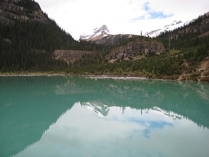
Sherbrooke Lake, Yoho-Nationalpark
26 Min. Fußweg • Sherbrooke Lake ist ein See im Yoho National Park in British Columbia, Kanada. Der See wird im Westen vom Mount Ogden 2.695 m, im Norden vom Mount Niles 2.972 m und im Osten vom Paget Peak begrenzt.
 Berg
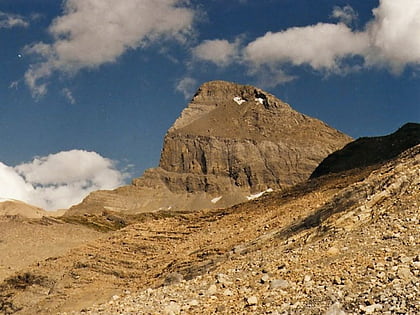
BergMount Niles, Yoho-Nationalpark
102 Min. Fußweg • Der Mount Niles ist ein 2.967 Meter hoher Gipfel in der Waputik Range des Yoho-Nationalparks in den kanadischen Rocky Mountains in British Columbia, Kanada. Der nächsthöhere Gipfel ist der Mount Daly, 1,63 km weiter nordöstlich.
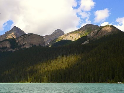 Natürliche Anziehungskraft, Berg, Wanderweg
Mount St. Piran, Lake Louise
139 Min. Fußweg • Mount St. Piran ist ein Berg im Banff National Park in der Nähe von Lake Louise, Alberta, Kanada.
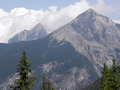 Natur, Natürliche Anziehungskraft, Berg
Mount Field, Field
119 Min. Fußweg • Mount Field ist ein Berg, der etwa 10 km östlich der Stadt Field im Yoho-Nationalpark, Kanada, liegt. Der Berg wurde 1884 nach Cyrus West Field benannt, einem amerikanischen Kaufmann, der 1858 das erste Atlantikkabel und 1866 ein zweites verlegt...
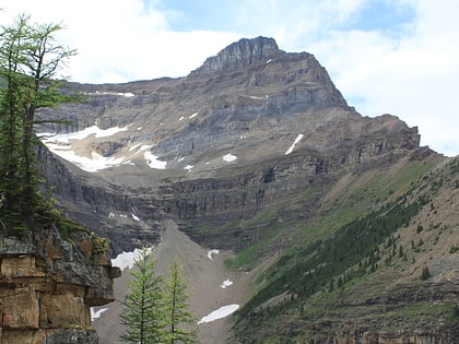 Natur, Natürliche Anziehungskraft, Berg
Mount Niblock, Banff-Nationalpark
125 Min. Fußweg • Mount Niblock ist ein Berg im Banff National Park in der Nähe von Lake Louise, Alberta, Kanada.
 Natürliche Anziehungskraft, Natur, See
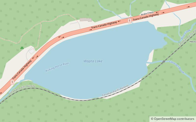
Wapta Lake, Yoho-Nationalpark
38 Min. Fußweg • Der Wapta Lake ist ein Gletschersee im Yoho-Nationalpark in den kanadischen Rocky Mountains im Osten von British Columbia, Kanada.
 Park
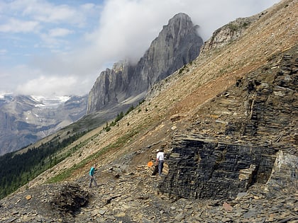
ParkBurgess-Schiefer, Field
121 Min. Fußweg • Der Burgess-Schiefer ist eine der weltweit bedeutendsten Fossillagerstätten und wurde nach dem Burgess-Pass im Yoho-Nationalpark in den kanadischen Rocky Mountains am südwestlichen Sattel zwischen Mount Wapta und Mount Field benannt.
 Natürliche Anziehungskraft, Natur, Berg
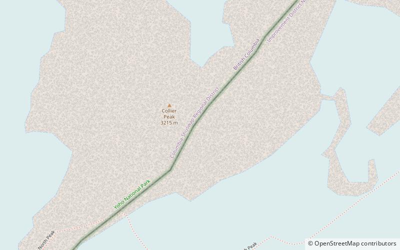
Collier Peak, Yoho-Nationalpark
139 Min. Fußweg • Der Collier Peak befindet sich an der Grenze zwischen Alberta und British Columbia. Er wurde 1903 nach Collier, Dr. Joseph, benannt.
 Natur, Natürliche Anziehungskraft, Berg
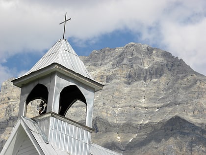
Mount Stephen, Field
131 Min. Fußweg • Mount Stephen, 3.199 m, ist ein Berg im Kicking Horse River Valley des Yoho National Park, 1⁄2 km östlich von Field, British Columbia, Kanada. Der Berg wurde 1886 nach George Stephen, dem ersten Präsidenten der Canadian Pacific Railway, benannt.
 Hoch aufragender Gipfel mit zerklüfteten Trekkingpfaden
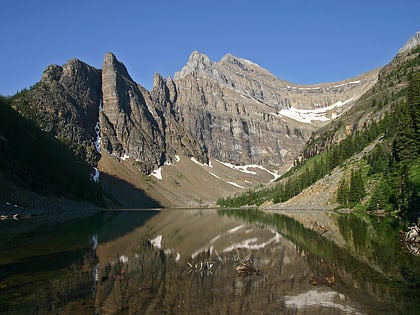
Mount Whyte, Banff-Nationalpark
135 Min. Fußweg • Der Mount Whyte ist ein 2990 m hoher Gipfel in der kanadischen Provinz Alberta. Er liegt im Banff-Nationalpark in der Nähe des Lake Louise.