Hot Creek, Devils Postpile National Monument
Karte

Karte

Fakten und Informationen
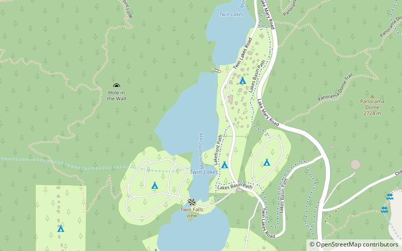
Hot Creek, der als Mammoth Creek beginnt, ist ein Bach im Mono County im Osten Kaliforniens, im Westen der Vereinigten Staaten. Er befindet sich im Inyo National Forest.
Koordinaten: 37°37'5"N, 119°0'29"W
Adresse
Devils Postpile National Monument
KontaktHinzufügen
Soziale Medien
Hinzufügen
Tagesausflüge
Hot Creek – beliebt in der gegend (entfernung vom objekt)
In der Nähe befinden sich unter anderem Attraktionen wie: Mammoth Mountain, Rainbow Falls, Mammoth Mountain Ski Area, Twin Lakes.
Häufig gestellte Fragen (FAQ)
Welche beliebten Attraktionen gibt es in der Nähe?
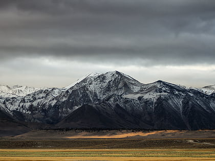
Zu den nahe gelegenen Attraktionen gehören. Twin Lakes, Inyo National Forest (4 Min. Fußweg), The Gallery at Twin Lakes, Inyo National Forest (9 Min. Fußweg), Sherwin Range, Inyo National Forest (12 Min. Fußweg).


