Northfleet Urban Country Park, Gravesend

Mapa
Datos e información práctica
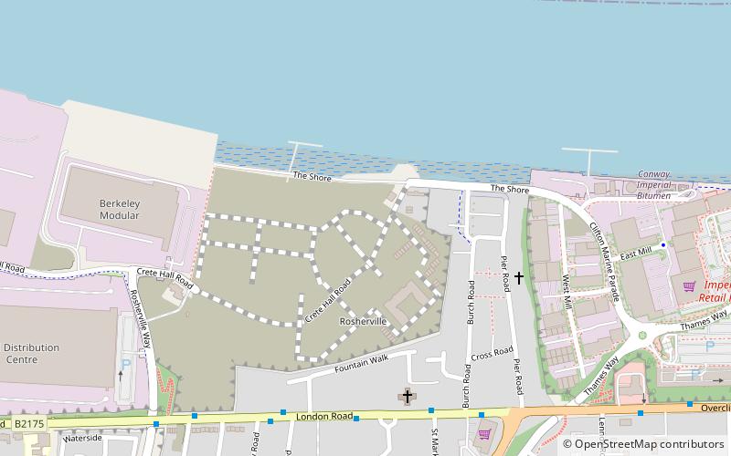
El parque urbano de Northfleet se encuentra en Northfleet, en Kent, Inglaterra. El sitio es un terreno englobado por Springhead Road, Thames Way, al oeste de Vale Road y el ferrocarril. El terreno es propiedad del Gravesham Borough Council y está gestionado por éste.
Creado: 1996Altura: 33 ft s.n.m.Coordenadas: 51°26'42"N, 0°21'7"E
Excursiones de un día
Northfleet Urban Country Park – popular en la zona (distancia de esta atracción)
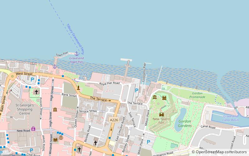
En las cercanías se encuentran, entre otras, atracciones como: Tilbury Fort, New Tavern Fort, Gravesend Town Hall, Milton Chantry.
Preguntas frecuentes (FAQs)
¿Qué atracciones populares hay cerca?
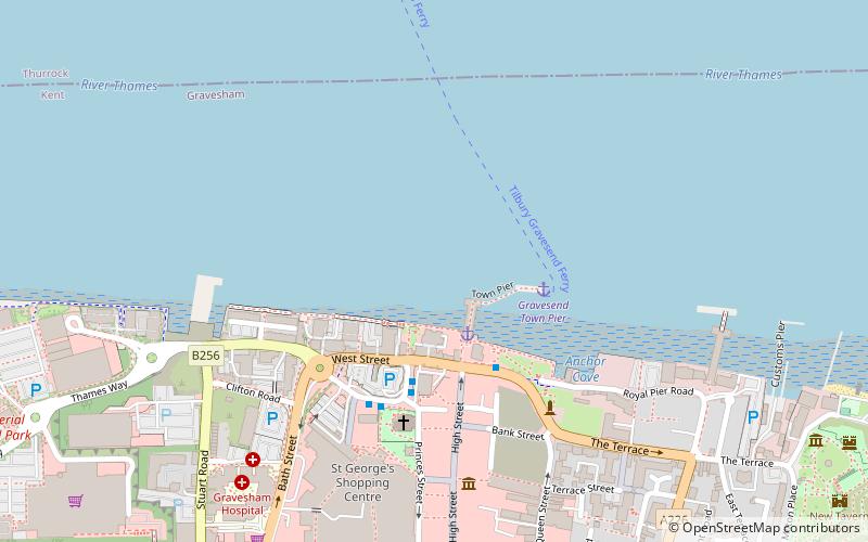
Las atracciones cercanas incluyen St George's Church, Gravesend (18 min. a pie), Town Pier, Gravesend (20 min. a pie), The Woodville, Gravesend (21 min. a pie), Gravesend Town Hall, Gravesend (21 min. a pie).
¿Cómo llegar en transporte público?
Estaciones y paradas en los alrededores de Northfleet Urban Country Park:
Autobuses
Ferrocarril
Transbordador
Autobuses
- Fountain Walk • Líneas: 480, 490 (5 min. a pie)
- Arriva Depot • Líneas: 480, 490 (6 min. a pie)
Ferrocarril
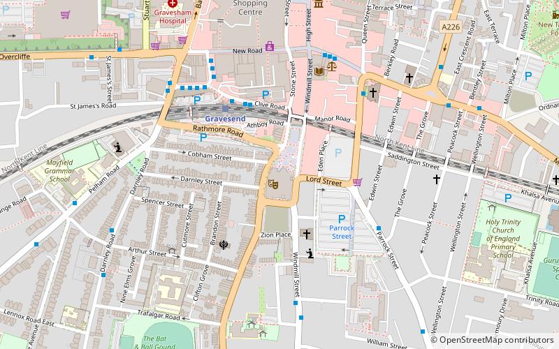
- Gravesend (18 min. a pie)
Transbordador
- Tilbury Landing Stage • Líneas: Gravesend-Tillbury Foot Ferry, Tillbury-Gravesend Foot Ferry (19 min. a pie)
- Gravesend Town Pier • Líneas: Gravesend-Tillbury Foot Ferry, Tillbury-Gravesend Foot Ferry (22 min. a pie)


