Weardale Way, Sunderland
Datos e información práctica
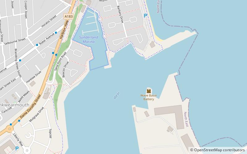
Weardale Way es un sendero que sigue el río Wear en el noreste de Inglaterra. Tiene una longitud de 73 millas y comienza en el monumento a Lindesfarne, en el dique de Roker. Después pasa por Chester-le-Street, Durham, Bishop Auckland, Wolsingham y Stanhope. El camino termina frente a la oficina de correos del pueblo de Wearhead, en el condado de Durham.
Dentro de la zona administrada por la autoridad local de la ciudad de Sunderland, la ruta está pensada para seguir la marcada como River Wear Trail; lamentablemente, muchos de los marcadores de esta ruta han sido retirados por los vándalos. Una vez que la ruta se adentra en la zona administrada por el Consejo del Condado de Durham, está marcada hasta cierto punto por discos de plástico fijados a postes de madera y metal, árboles y mobiliario urbano. Hay varias señales de madera con forma de "dedo" a lo largo de la ruta que cuentan la distancia a lo largo del sendero en ambas direcciones.
Este sendero está marcado en la última serie de mapas Ordnance Survey 1:25.000, las hojas Explorer 305, 307, 308 y OL31 cubren el paseo.
Existe una guía de la ruta: The Weardale Way, A Pictorial Walking Guide de Alistair Wallace.
Sunderland
- Autobuses
- Tren ligero
 Autobuses
- Determinar la rutaStadium of Light 19 min. a pie
- Determinar la rutaSt Peter's 22 min. a pie
- Determinar la rutaSunderland 27 min. a pie
- Determinar la rutaSeaburn 32 min. a pie
- Determinar la rutaSt Mary's Way 25 min. a pie
- Determinar la rutaSunderland Interchange 33 min. a pie
- Determinar la rutaSunderland Interchange Stand R 33 min. a pie


Preguntas frecuentes (FAQs)
¿Qué atracciones populares hay cerca?
¿Cómo llegar en transporte público?
Tren ligero
- Stadium of Light • Líneas: Green (19 min. a pie)
- St Peter's • Líneas: Green (22 min. a pie)
Autobuses
- St Mary's Way • Líneas: 135 (25 min. a pie)
- Sunderland Interchange • Líneas: 426, 436, 905 (33 min. a pie)