Helene-Mayer-Ring, Munich
Carte
Galerie
Faits et informations pratiques
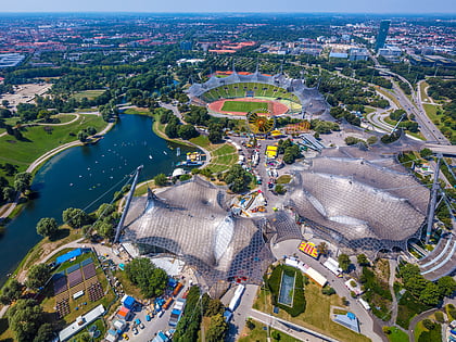
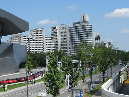
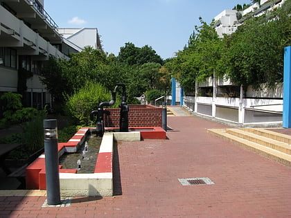
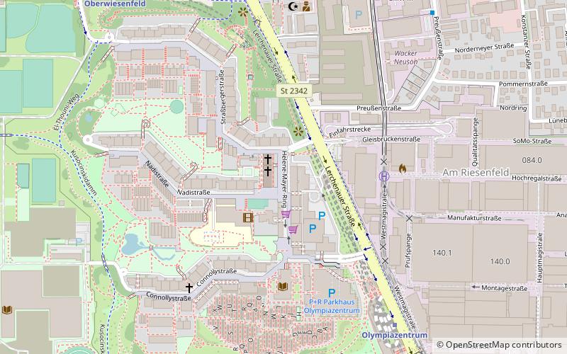
L'Hélène-Mayer-Ring est une rue du village olympique du parc olympique Munich à Munich, en Allemagne.
Adresse
Milbertshofen-Am Hart (Am Riesenfeld)Munich
ContactAjouter
Médias sociaux
Ajouter
Excursions d'une journée
Helene-Mayer-Ring – populaire dans la région (distance de cette attraction)
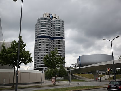
À proximité, vous trouverez notamment des attractions telles que : Parc olympique de Munich, Musée BMW, BMW Welt, Olympia.
Foire aux questions (FAQ)
Quelles sont les attractions populaires à proximité ?
Les attractions à proximité comprennent Lerchenauer Straße, Munich (4 min. de marche), Connollystraße, Munich (5 min. de marche), Studentenviertel Oberwiesenfeld, Munich (6 min. de marche), Nadisee, Munich (6 min. de marche).
Comment s'y rendre par les transports publics ?
Stations et arrêts à proximité de Helene-Mayer-Ring :
Métro
Autobus
Trams
Métro
- Olympiazentrum • Lignes: U3, U8 (7 min. de marche)
- Oberwiesenfeld • Lignes: U3 (9 min. de marche)
Autobus
- Lerchenauer Straße • Lignes: 173, 180, 50, N76 (7 min. de marche)
- Olympiazentrum • Lignes: 173, 180, N76 (8 min. de marche)
Trams
- Petuelring • Lignes: 27, N27 (21 min. de marche)
- Gartenstraße • Lignes: 27, N27 (23 min. de marche)


