Maury Street Marker, Richmond


Faits et informations pratiques
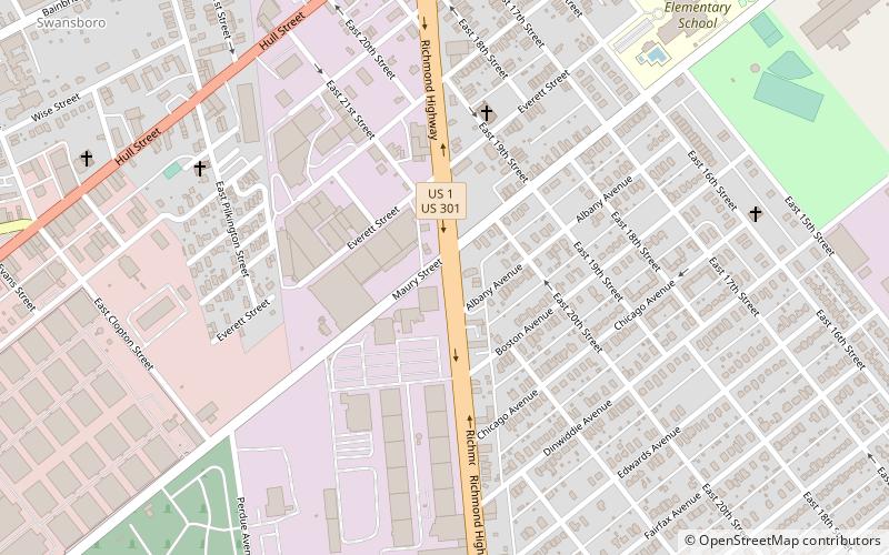
Maury Street Marker, Jefferson Davis Highway est un marqueur de route historique situé sur la route 1 américaine, ou Jefferson Davis Highway, à Richmond, en Virginie. Il a été érigé en 1935 par les United Daughters of the Confederacy. Il est l'un des 16 érigés en Virginie le long de la route Jefferson Davis entre 1927 et 1947. Le marqueur est une dalle de granit inscrite avec des faces plates lisses et des bords rugueux. Il mesure 45 pouces de hauteur, 25 pouces de large et 9 pouces d'épaisseur. La pierre est gravée du texte "Jefferson Davis Highway érigé par Elliott Grays Chapter Daughters de la Confédération 1935".
Il a été répertorié sur le registre national des lieux historiques en 2004.
South Richmond (Maury)Richmond
Maury Street Marker – populaire dans la région (distance de cette attraction)
À proximité, vous trouverez notamment des attractions telles que : Brown's Island Dam Walk, Church of the Sacred Heart, Elliott Grays Marker-Jefferson Davis Highway, Artspace Richmond.
Foire aux questions (FAQ)
Quelles sont les attractions populaires à proximité ?
Comment s'y rendre par les transports publics ?
Autobus
- Broad Rock & 33rd • Lignes: 87 (26 min. de marche)
- Broad Rock + 36th • Lignes: 2C, 87 (31 min. de marche)


