Elliott Grays Marker-Jefferson Davis Highway, Richmond


Faits et informations pratiques
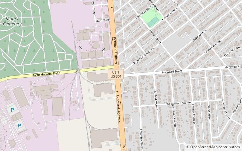
Elliott Grays Marker-Jefferson Davis Highway est un marqueur de route historique situé sur la route 1 américaine, ou Jefferson Davis Highway, à Richmond, en Virginie. Il a été érigé en 1929 par les Filles United de la Confédération. Il est l'un des 16 érigés en Virginie le long de la route Jefferson Davis entre 1927 et 1947. Le marqueur est une dalle de granit inscrite avec des faces plates lisses et des bords rugueux. Il mesure 47 pouces de hauteur, 25 pouces de large et 12 pouces d'épaisseur. La pierre est gravée du texte "Jefferson Davis Highway Cet arbre marque le site de la batterie 17 des défenses intérieures de Richmond, 1862-1865, et est plantée dans le sol tiré des champs de bataille un mémorial aux soldats confédérés par le chapitre Elliott Grays U.D.C. 1929. "
Il a été inscrit au registre national des lieux historiques en 2006.
Le site Web Roadside America appelle cela le "marqueur routier d'un arbre confédéré mort", soulignant que l'arbre mentionné dans l'inscription est décédé il y a des décennies.
Oak GroveRichmond
Elliott Grays Marker-Jefferson Davis Highway – populaire dans la région (distance de cette attraction)
À proximité, vous trouverez notamment des attractions telles que : Richmond Coliseum, Forest Hill Park, Altria Theater, The National.
Foire aux questions (FAQ)
Comment s'y rendre par les transports publics ?
Autobus
- Broad Rock & 33rd • Lignes: 87 (25 min. de marche)
- Broad Rock + 36th • Lignes: 2C, 87 (28 min. de marche)


