West Huntington Bridge, Huntington
Carte
Faits et informations pratiques
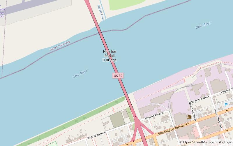
Le pont de West Huntington est un pont à deux voies de 562 pieds de 562 pieds du côté ouest de Huntington, en Virginie occidentale, États-Unis. Il traverse la rivière Ohio et porte la route 52 de l'U.S. entre Ohio State Route 7 et Interstate 64.
Coordonnées: 38°24'57"N, 82°29'10"W
Accès par les transports publics
Arrêts de transport public à proximité du site
- Autobus
 Autobus
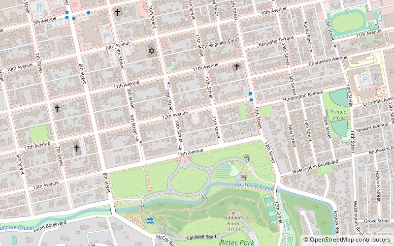
- Déterminer l'itinéraireAdams Avenue & 18th Street West 10 min. de marche
- Déterminer l'itinéraireWashington Avenue & 11th Street West & Dutch Miller 15 min. de marche
Excursions d'une journée
West Huntington Bridge – populaire dans la région (distance de cette attraction)
À proximité, vous trouverez notamment des attractions telles que : Joan C. Edwards Stadium, Camden Park, Keith-Albee Theatre, Museum of Radio and Technology.


Foire aux questions (FAQ)
Comment s'y rendre par les transports publics ?
Stations et arrêts à proximité de West Huntington Bridge :
Autobus
Autobus
- Adams Avenue & 18th Street West • Lignes: 1 (10 min. de marche)
- Washington Avenue & 11th Street West & Dutch Miller • Lignes: 1 (15 min. de marche)