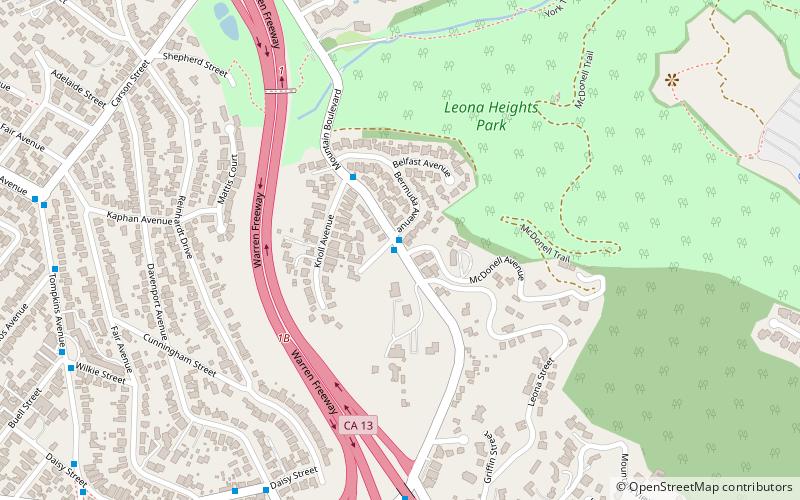
Leona Heights, Oakland
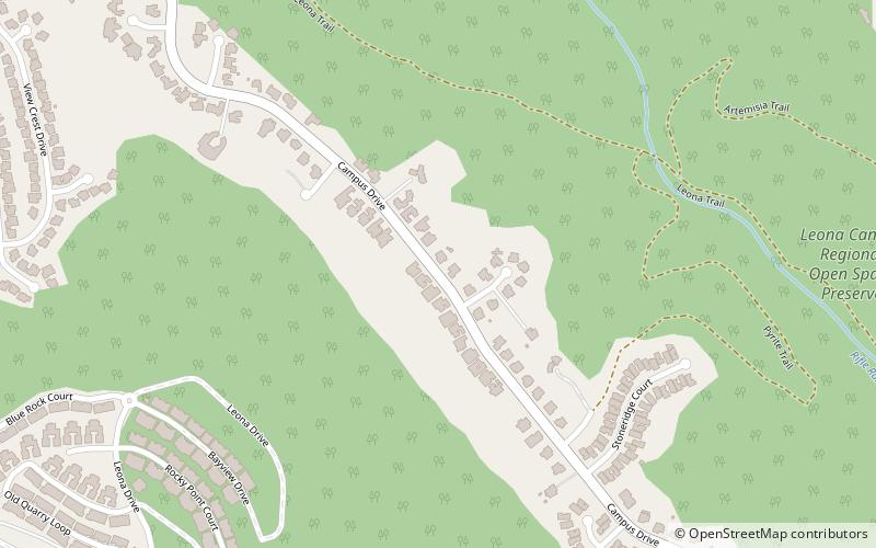
Carte
Faits et informations pratiques
Leona Heights est un quartier d'Oakland dans le comté d'Alameda, en Californie. Il se trouve à une altitude de 325 pieds.
Coordonnées: 37°47'20"N, 122°10'42"W
Adresse
South Hills (Leona Heights)Oakland
ContactAjouter
Médias sociaux
Ajouter
Accès par les transports publics
Arrêts de transport public à proximité du site
- Autobus
 Autobus
- Déterminer l'itinéraireChurch of the Nazarene 10 min. de marche
- Déterminer l'itinéraireRedwood Road & Sereno Circle 11 min. de marche
- Déterminer l'itinéraireCampus Drive & Redwood Road 11 min. de marche
- Déterminer l'itinéraireCarl Munck Elementary School 13 min. de marche
Excursions d'une journée
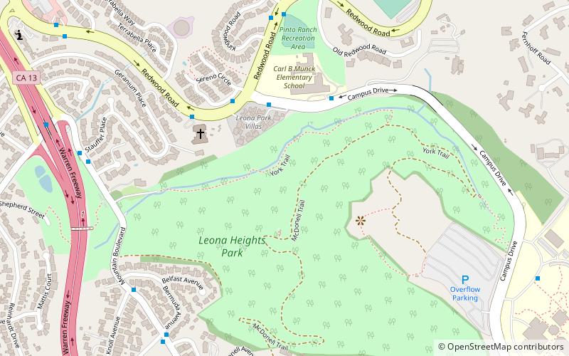
Leona Heights – populaire dans la région (distance de cette attraction)
À proximité, vous trouverez notamment des attractions telles que : Evergreen Cemetery, Mills College Art Museum, The Skyline Serpentine Prairie in Redwood Regional Park, Mills College.


Foire aux questions (FAQ)
Quelles sont les attractions populaires à proximité ?
Les attractions à proximité comprennent Old Survivor, Oakland (9 min. de marche), Mills College Art Museum, Oakland (12 min. de marche), F. W. Olin Library, Oakland (15 min. de marche), William Joseph McInnes Botanic Garden and Campus Arboretum, Oakland (15 min. de marche).
Comment s'y rendre par les transports publics ?
Stations et arrêts à proximité de Leona Heights :
Autobus
Autobus
- Church of the Nazarene • Lignes: 54 (10 min. de marche)
- Redwood Road & Sereno Circle • Lignes: 54 (11 min. de marche)