Transbay Tube, Oakland

Faits et informations pratiques
Le tube Transbay est un tunnel ferroviaire sous-marin qui transporte les quatre lignes Transbay de Bay Area Rapid Transit sous la baie de San Francisco entre les villes de San Francisco et d'Oakland en Californie. Le tube mesure 3,6 miles de long et se fixe à des tunnels à double enfoncer. La section souterraine du rail entre les stations les plus proches totalise 6 miles de longueur. Le tube a une profondeur maximale de 135 pieds sous le niveau de la mer.
Construit en utilisant la technique du tube immergé, le tube Transbay a été construit sur un terrain en 57 sections, transporté sur le site, puis submergé et fixé au fond - principalement en emballant ses côtés avec du sable et du gravier.
Ouvert en 1974, le tunnel était le dernier segment du plan BART d'origine à ouvrir. Toutes les lignes BART à l'exception de la ligne Berryessa-Richmond fonctionnent via le tube Transbay, ce qui en fait l'une des sections les plus occupées du système en termes de trafic de passagers et de train. Pendant les heures de pointe, plus de 28 000 passagers par heure traversent le tunnel avec des progrès aussi courts que 2,5 minutes. Les trains BART atteignent leurs vitesses les plus élevées dans le tube, près de 80 miles par heure, soit plus du double de la vitesse moyenne de 36 miles par heure trouvée ailleurs dans le système.
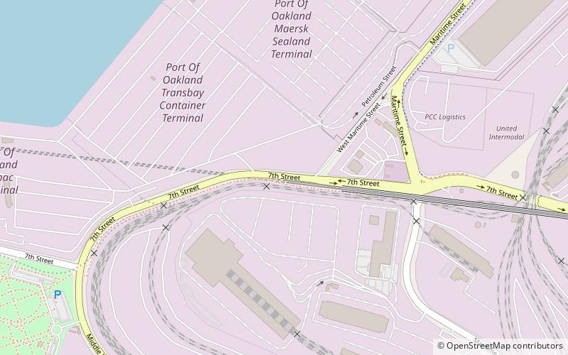
West Oakland (Port of Oakland)Oakland
Transbay Tube – populaire dans la région (distance de cette attraction)
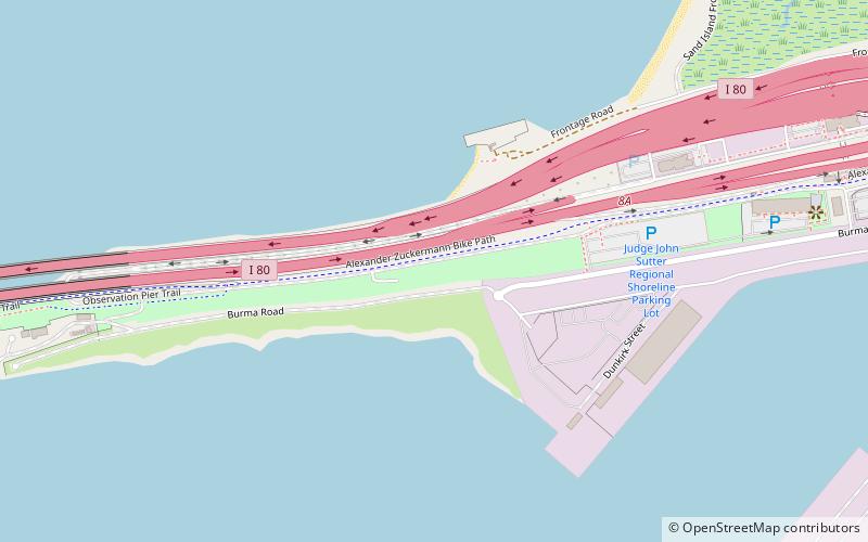
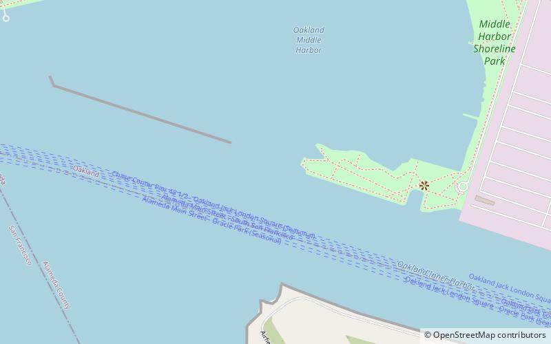
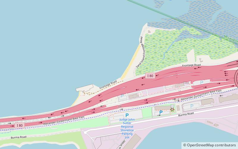
À proximité, vous trouverez notamment des attractions telles que : Middle Harbor Shoreline Park, Judge John Sutter Regional Shoreline, Oakland Long Wharf, Radio Beach.
Foire aux questions (FAQ)
Quelles sont les attractions populaires à proximité ?
Comment s'y rendre par les transports publics ?
Autobus
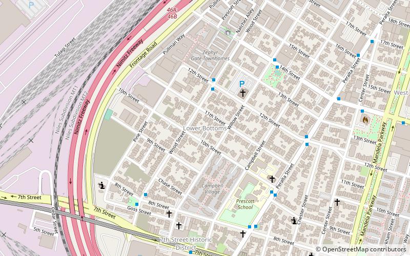
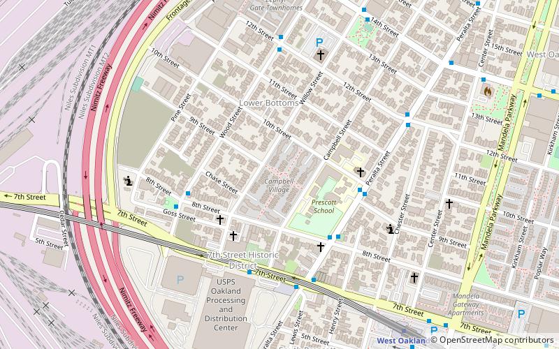
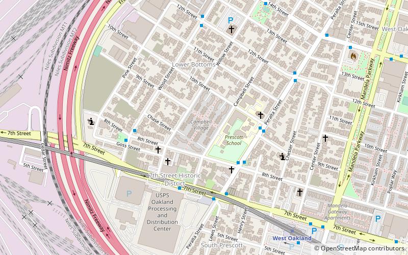
- Wood Street & 8th Street • Lignes: 14 (20 min. de marche)
- 7th Street & Campbell Street • Lignes: 14, 800 (23 min. de marche)
Métro
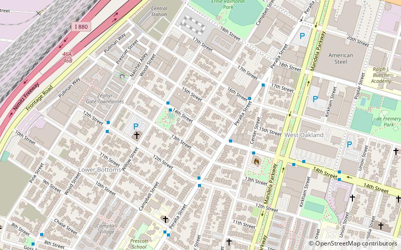
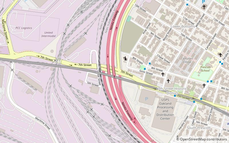
- West Oakland • Lignes: Blue, Green, Red, Yellow (30 min. de marche)


