East Staffordshire, Burton upon Trent
Carte
Faits et informations pratiques
East Staffordshire est un district non métropolitain du Staffordshire, en Angleterre. Sa population est de 113 583 habitants. ()
Accès par les transports publics
Arrêts de transport public à proximité du site
- Autobus
- Chemin de fer
 Autobus
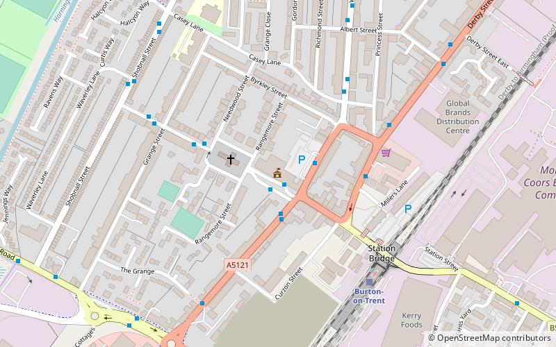
- Déterminer l'itinéraireTown Hall 1 min. de marche
- Déterminer l'itinéraireBorough Road 2 min. de marche
- Déterminer l'itinéraireKing Edward's Place 2 min. de marche
- Déterminer l'itinéraireBurton-on-Trent 6 min. de marche
Excursions d'une journée
East Staffordshire – populaire dans la région (distance de cette attraction)
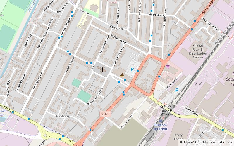
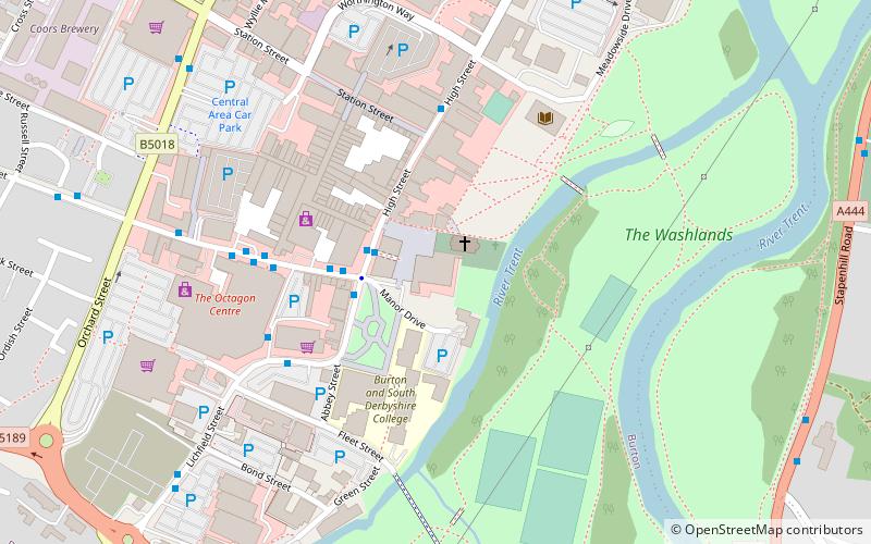
À proximité, vous trouverez notamment des attractions telles que : Coopers Square Shopping Centre, Shobnall, St Peter's Bridge, Burton Town Hall.


Foire aux questions (FAQ)
Quelles sont les attractions populaires à proximité ?
Les attractions à proximité comprennent Burton Town Hall, Burton upon Trent (1 min. de marche), St Paul's, Burton upon Trent (2 min. de marche), St John the Divine, Burton upon Trent (4 min. de marche), National Brewery Centre, Burton upon Trent (15 min. de marche).
Comment s'y rendre par les transports publics ?
Stations et arrêts à proximité de East Staffordshire :
Autobus
Chemin de fer
Autobus
- Town Hall • Lignes: 401, 402, 403, 8, 9 (1 min. de marche)
- Borough Road • Lignes: 1, 9, V1 (2 min. de marche)
Chemin de fer
- Burton-on-Trent (6 min. de marche)