Northfleet Urban Country Park, Gravesend

Carte
Faits et informations pratiques
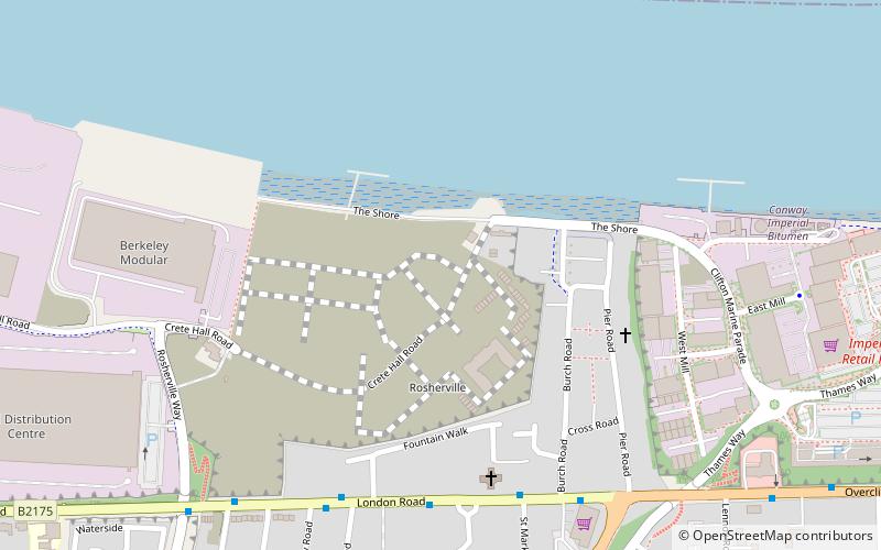
Northfleet Urban Country Park est à Northfleet, dans le Kent, en Angleterre. Le site est un terrain englobé par Springhead Road, Thames Way, à l'ouest de Vale Road et le chemin de fer. Le site appartient et géré par le Conseil d'arrondissement de Gravesham.
Établi: 1996Hauteur: 33 ft Coordonnées: 51°26'42"N, 0°21'7"E
Excursions d'une journée
Northfleet Urban Country Park – populaire dans la région (distance de cette attraction)
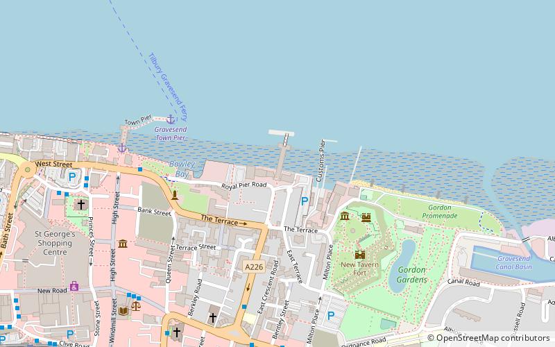
À proximité, vous trouverez notamment des attractions telles que : Tilbury Fort, New Tavern Fort, Gravesend Town Hall, Milton Chantry.
Foire aux questions (FAQ)
Quelles sont les attractions populaires à proximité ?
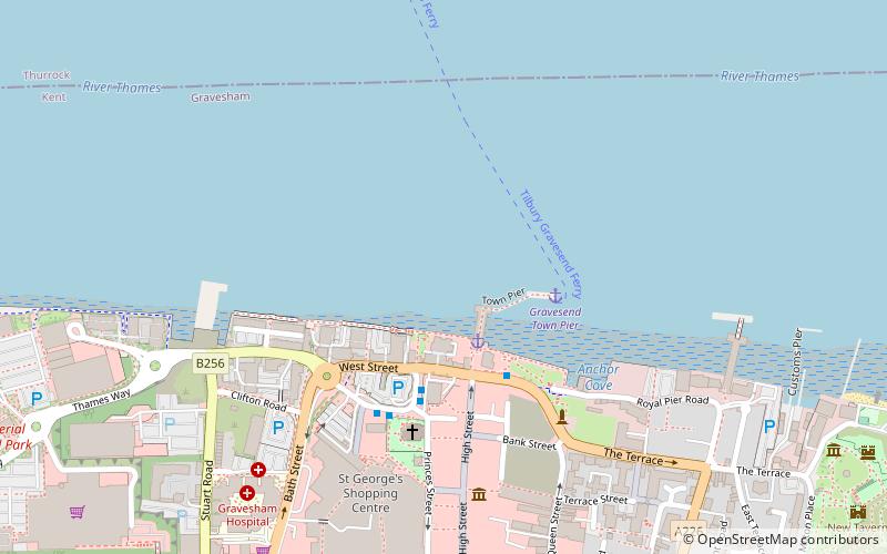
Les attractions à proximité comprennent St George's Church, Gravesend (18 min. de marche), Town Pier, Gravesend (20 min. de marche), The Woodville, Gravesend (21 min. de marche), Gravesend Town Hall, Gravesend (21 min. de marche).
Comment s'y rendre par les transports publics ?
Stations et arrêts à proximité de Northfleet Urban Country Park :
Autobus
Chemin de fer
Ferry
Autobus
- Fountain Walk • Lignes: 480, 490 (5 min. de marche)
- Arriva Depot • Lignes: 480, 490 (6 min. de marche)
Chemin de fer
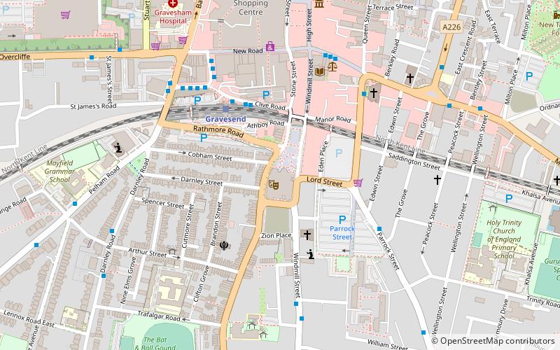
- Gravesend (18 min. de marche)
Ferry
- Tilbury Landing Stage • Lignes: Gravesend-Tillbury Foot Ferry, Tillbury-Gravesend Foot Ferry (19 min. de marche)
- Gravesend Town Pier • Lignes: Gravesend-Tillbury Foot Ferry, Tillbury-Gravesend Foot Ferry (22 min. de marche)


