Friary United Reformed Church, Nottingham
Carte
Carte

Faits et informations pratiques
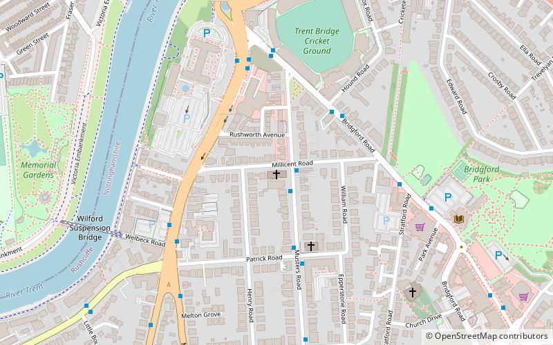
Friary United Reforted Church est une église sur Musers Road à West Bridgford, Nottingham, construite entre 1898 et 1901. Il s'agit d'un bâtiment classé Grade II.
Complété: 1901 (il y a 125 ans)Coordonnées: 52°56'3"N, 1°8'0"W
Excursions d'une journée
Friary United Reformed Church – populaire dans la région (distance de cette attraction)
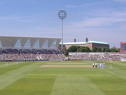
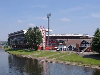
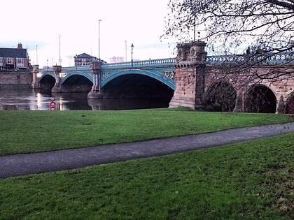
À proximité, vous trouverez notamment des attractions telles que : Trent Bridge, City Ground, Meadow Lane, St Mary's Church.
Foire aux questions (FAQ)
Quelles sont les attractions populaires à proximité ?
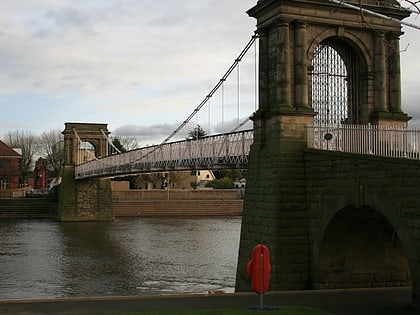
Les attractions à proximité comprennent St Giles Church, Nottingham (6 min. de marche), Wilford Suspension Bridge, Nottingham (7 min. de marche), City War Memorial, Nottingham (8 min. de marche), Trent Bridge, Nottingham (8 min. de marche).
Comment s'y rendre par les transports publics ?
Stations et arrêts à proximité de Friary United Reformed Church :
Autobus
Trams
Chemin de fer
Autobus
- Patrick Road • Lignes: L22, L23 (3 min. de marche)
- County Hall • Lignes: 1, 10, 19, 2, 3, 4, 9, Keyworth Connection, L1, N4, Skylink Express (4 min. de marche)
Trams
- Meadows Embankment • Lignes: 2 (24 min. de marche)
- Queens Walk • Lignes: 2 (24 min. de marche)
Chemin de fer
- Gare de Nottingham (26 min. de marche)

