Borough of Berwick-upon-Tweed, Berwick-upon-Tweed
Faits et informations pratiques
Berwick-upon-Tweed était un district du gouvernement local et un arrondissement de Northumberland dans le nord-est de l'Angleterre, à la frontière avec l'Écosse. Le district comptait une population résidente de 25 949 selon le recensement de 2001, qui note également qu'il est le plushniquement homogène du pays, avec 99,6% de la population qui s'est enregistrée dans le recensement de 2001 en tant que blanc. C'était aussi le plus petit district d'Angleterre avec le statut d'arrondissement, et le district du gouvernement local densément peuplé.
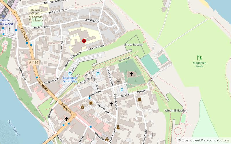
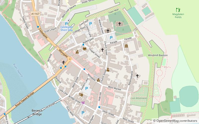
Sa ville principale est Berwick-upon-Tweed, située immédiatement au nord de l'estuaire de Tweed. La ville est ancienne, la scène d'un certain nombre de batailles; Il a peut-être le meilleur exemple restant d'un mur de ville, construit à des fins défensives.
Au sud de l'estuaire, le port de Tweedmouth est le point d'exportation de diverses marchandises, mais surtout des céréales et des pierres de route. Le reste de l'arrondissement est rural, bordé à l'ouest par les collines Cheviot et à l'est par un littoral pittoresque.
L'arrondissement a été créé le 1er avril 1974 par la fusion de l'arrondissement précédent de Berwick-upon-tweed avec le district rural de Belford, le district rural de Glendale et le district rural de Norham et Islandshires.
Berwick a été le premier district en Grande-Bretagne à tenir un référendum sur l'opportunité d'avoir un maire directement élu. Ce référendum, le 7 juin 2001, a décidé contre un maire élu.
Le district a été aboli dans le cadre des changements structurels de 2009 au gouvernement local en Angleterre à compter du 1er avril 2009, les responsabilités transférées au Northumberland County Council, une autorité unitaire.
- Autobus
- Chemin de fer
 Autobus
- Déterminer l'itinéraireGolden Square 6 min. de marche
- Déterminer l'itinéraireBerwick, Castlegate Red Lion 6 min. de marche
- Déterminer l'itinéraireBerwick, Castlegate 7 min. de marche
- Déterminer l'itinéraireBerwick-upon-Tweed 10 min. de marche
Borough of Berwick-upon-Tweed – populaire dans la région (distance de cette attraction)
À proximité, vous trouverez notamment des attractions telles que : Shielfield Park, Berwick Barracks, Berwick town walls, Church of the Holy Trinity.


Foire aux questions (FAQ)
Quelles sont les attractions populaires à proximité ?
Comment s'y rendre par les transports publics ?
Autobus
- Golden Square • Lignes: 60, 67, Bus 67 (6 min. de marche)
- Berwick, Castlegate Red Lion • Lignes: 67, Bus 67 (6 min. de marche)
Chemin de fer
- Berwick-upon-Tweed (10 min. de marche)