Borough of Chesterfield, Chesterfield

Carte
Faits et informations pratiques
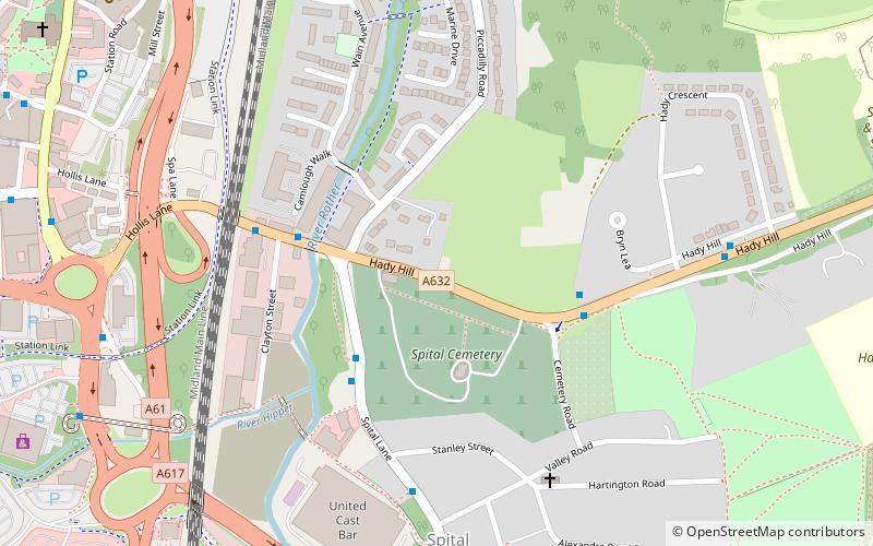
L'arrondissement de Chesterfield est un arrondissement du gouvernement local dans le Derbyshire, en Angleterre. Il porte le nom de son principal règlement de Chesterfield.
Adresse
Chesterfield
ContactAjouter
Médias sociaux
Ajouter
Excursions d'une journée
Borough of Chesterfield – populaire dans la région (distance de cette attraction)
À proximité, vous trouverez notamment des attractions telles que : Church of St Mary and All Saints, Chesterfield Town Hall, Queen's Park, Chesterfield Museum and Art Gallery.
Foire aux questions (FAQ)
Quelles sont les attractions populaires à proximité ?
Les attractions à proximité comprennent Church of St Mary and All Saints, Chesterfield (9 min. de marche), Chesterfield Museum and Art Gallery, Chesterfield (10 min. de marche), Chesterfield Canal, Chesterfield (13 min. de marche), Chesterfield College, Chesterfield (16 min. de marche).
Comment s'y rendre par les transports publics ?
Stations et arrêts à proximité de Borough of Chesterfield :
Autobus
Chemin de fer
Autobus
- Lordsmill Street • Lignes: 1, 1A, 80, 80A (9 min. de marche)
- Chesterfield Train Station • Lignes: 54, 54A, X70 (10 min. de marche)
Chemin de fer
- Chesterfield (10 min. de marche)


