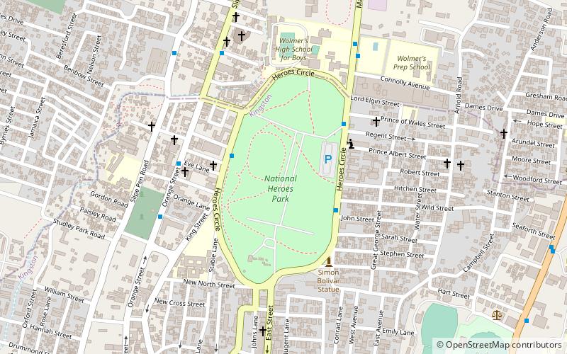
National Heroes Park, Kingston
Faits et informations pratiques
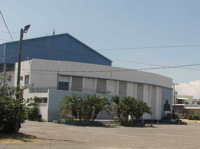
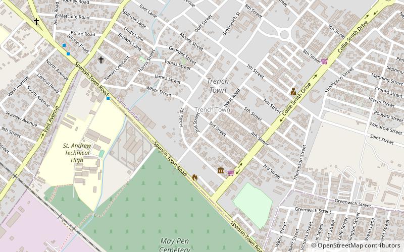
Le Parc National des Héros, situé au cœur de Kingston, la capitale de la Jamaïque, est un lieu de mémoire et d'hommage qui revêt une importance capitale pour l'identité nationale du pays. Ce parc, aussi connu sous le nom de National Heroes Park, s'étend sur une surface de 50 hectares et est ancré dans l'histoire de la nation.
Ce site mémoriel est dédié aux leaders et pionniers qui ont joué un rôle déterminant dans la lutte pour l'indépendance et le développement social de la Jamaïque. Parmi eux, on compte des héros nationaux tels que Marcus Garvey, un activiste politique et père du mouvement panafricain, ainsi que des Premiers ministres et des militants qui ont façonné la trajectoire politique et culturelle du pays.
Le parc abrite également des monuments impressionnants, des tombes et des cénotaphes qui honorent la mémoire de ces personnalités. Chaque année, des cérémonies officielles y sont organisées, notamment lors de la Journée des Héros Nationaux, pour célébrer leur héritage et leur contribution à la société jamaïcaine.
En se promenant dans le Parc National des Héros, les visiteurs peuvent ressentir le poids de l'histoire et la fierté nationale qui émane de ce lieu. Le parc offre un espace de réflexion au milieu de l'agitation de la ville, où l'on peut se recueillir ou simplement profiter de la beauté et de la tranquillité des jardins bien entretenus.
- Autobus
- Chemin de fer
 Autobus
- Déterminer l'itinéraireDowntown 21 min. de marche
- Déterminer l'itinéraireDowntown Municipal Transport Center 27 min. de marche
- Déterminer l'itinéraireRural Bus Park 29 min. de marche
- Déterminer l'itinéraireDowntown Kingston Transport Centre 35 min. de marche
- Déterminer l'itinéraireOld Railway Station 30 min. de marche
National Heroes Park – populaire dans la région (distance de cette attraction)
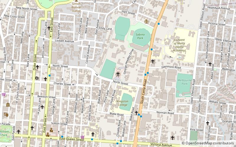
À proximité, vous trouverez notamment des attractions telles que : Holy Trinity Cathedral, Church of the Redeemer, National Library of Jamaica, Little Theatre.


Foire aux questions (FAQ)
Quelles sont les attractions populaires à proximité ?
Comment s'y rendre par les transports publics ?
Autobus
- Downtown (21 min. de marche)
- Downtown Municipal Transport Center (27 min. de marche)
Chemin de fer
- Old Railway Station (30 min. de marche)