Trenchtown, Kingston
Carte
Faits et informations pratiques
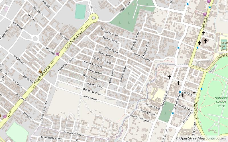
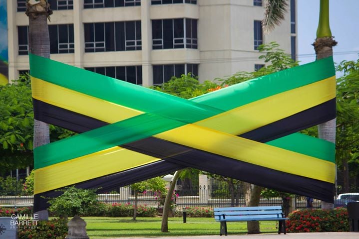
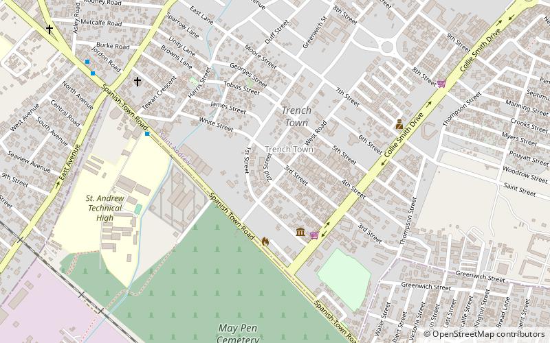
Trench Town est un des quartiers sud de la ville de Kingston, plus précisément situé dans le secteur 12 de la capitale et principale ville de Jamaïque. Il fait néanmoins partie de la paroisse de Saint Andrew. Les codes postaux de cette ville qui présentent des chiffres élevés correspondent à une population ayant une économie riche et stable. En conséquence, les chiffres les plus bas sont considérés être les endroits où les gens vivent sous le seuil de la pauvreté. ()
Adresse
Kingston
ContactAjouter
Médias sociaux
Ajouter
Accès par les transports publics
Arrêts de transport public à proximité du site
- Autobus
- Chemin de fer
 Autobus
- Déterminer l'itinéraireDowntown 24 min. de marche
- Déterminer l'itinéraireDowntown Municipal Transport Center 26 min. de marche
- Déterminer l'itinéraireRural Bus Park 27 min. de marche
- Déterminer l'itinéraireOld Railway Station 29 min. de marche
Excursions d'une journée
Trenchtown – populaire dans la région (distance de cette attraction)
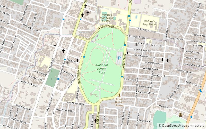
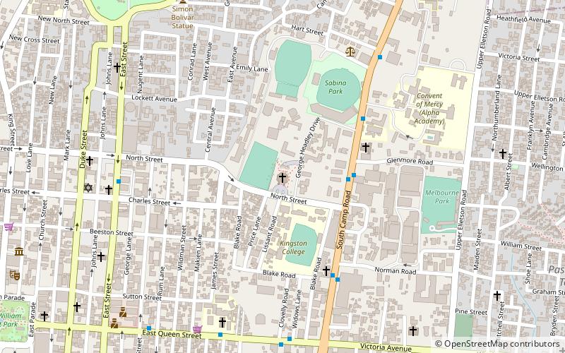
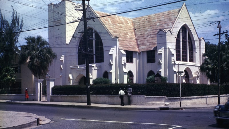
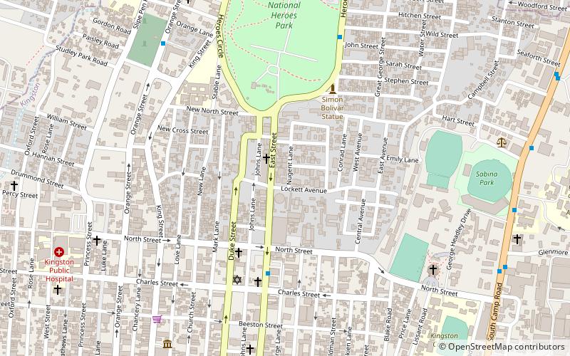
À proximité, vous trouverez notamment des attractions telles que : Emancipation Park, National Heroes Park, Holy Trinity Cathedral, Church of the Redeemer.


Foire aux questions (FAQ)
Quelles sont les attractions populaires à proximité ?
Les attractions à proximité comprennent National Heroes Park, Kingston (15 min. de marche), Denham Town, Kingston (16 min. de marche), Mico University College, Kingston (17 min. de marche), Fletchers Land, Kingston (19 min. de marche).
Comment s'y rendre par les transports publics ?
Stations et arrêts à proximité de Trenchtown :
Autobus
Chemin de fer
Autobus
- Downtown (24 min. de marche)
- Downtown Municipal Transport Center (26 min. de marche)
Chemin de fer
- Old Railway Station (29 min. de marche)