Trek Zone

Évires

Nr 988 w rankingu popularności we Francji

Lokalizacja
Évires

Fakty i informacje praktyczne

Inne nazwy: Populacja: 1.3 tys.Powierzchnia: 7.53 mi²Współrzędne: 46°2'19"N, 6°12'44"E
Lokalizacja

Owernia-Rodan-AlpyFrancja

KontaktDodaj
Media społecznościowe
Dodaj
Wycieczki jednodniowe

Évires – popularne w okolicy (odległości od atrakcji)

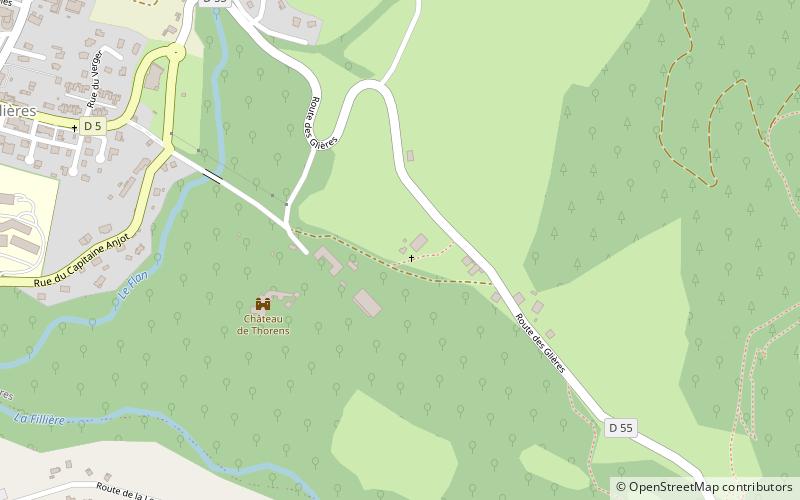
W pobliżu znajdują się m.in. takie atrakcje jak Château de Thorens, Salève, Villy-le-Pelloux, Pont Charles-Albert.

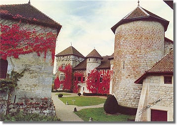
  • chateau de thorens thorens glieres3.7 miSE
  • saleve5.2 miNW
  • villy le pelloux allonzier la caille4.6 miSW
  • pont charles albert cruseilles5.2 miW
  • chateau de sales thorens glieres location map
    3.8 miSE
  • collegiale saint jean baptiste la roche sur foron5.2 miE
  • chateau de lechelle la roche sur foron5.3 miE
  • croix de chemin la roche sur foron5.3 miNE
  • beaumont6.5 miNW
  • aviernoz4.2 miS
  • amancy5.8 miNE

Gdzie dalej? Przejdź do strony regionu owernia rodan alpy Owernia-Rodan-Alpy lub zobacz wszystkie miejsca i atrakcje we Francji.