Trek Zone

Les Allues

Nr 8112 w rankingu popularności we Francji

Lokalizacja
Les Allues

Fakty i informacje praktyczne
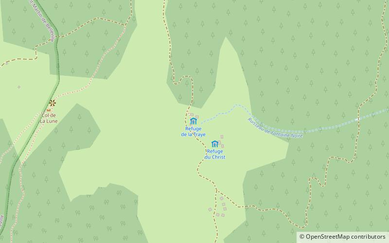
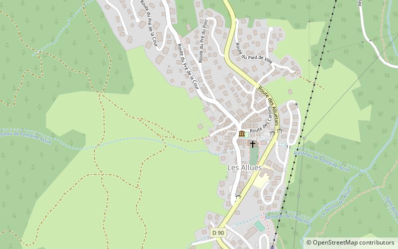
Inne nazwy: Populacja: 1.8 tys.Powierzchnia: 33.2 mi²Współrzędne: 45°25'56"N, 6°33'16"E
Lokalizacja

Owernia-Rodan-AlpyFrancja

KontaktDodaj
Media społecznościowe
Dodaj

Les Allues zaplanuj i zarezerwuj

Uwolnij w sobie podróżnika — odkryj najtańsze oferty lotów, znajdź idealny hotel lub hostel w pobliżu oraz wyszukaj najkorzystniejszą cenę na wynajem samochodu. Podążaj własnym tempem, by odkryć nowe miejsca i cieszyć się podróżą.

Wycieczki jednodniowe

Les Allues – popularne w okolicy (odległości od atrakcji)

W pobliżu znajdują się m.in. takie atrakcje jak La Tania, Moûtiers Cathedral, Loze, Chalet du Plan.

  • la tania courchevel2.4 miE
  • moutiers cathedral3.7 miN
  • loze meribel2.7 miSE
  • chalet du plan meribel5.5 miS
  • saulire courchevel4.1 miSE
  • dent de burgin courchevel3.9 miSE
  • saint martin de belleville4.4 miSW
  • lac de tueda meribel5.1 miS
  • pont de lisere dit le vieux pont moutiers3.7 miN
  • refuge de la traie meribel location map
    1.1 miW
  • les avanchers valmorel5.8 miW

Gdzie dalej? Przejdź do strony regionu owernia rodan alpy Owernia-Rodan-Alpy lub zobacz wszystkie miejsca i atrakcje we Francji.