Trek Zone

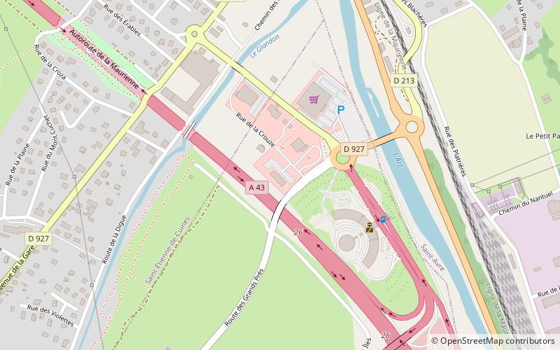
Sainte-Marie-de-Cuines

Nr 8953 w rankingu popularności we Francji

Lokalizacja
Sainte-Marie-de-Cuines

Fakty i informacje praktyczne

Inne nazwy: Populacja: ~630 os. (2019)Powierzchnia: 5.77 mi²Współrzędne: 45°20'49"N, 6°18'8"E
Lokalizacja

Owernia-Rodan-AlpyFrancja

KontaktDodaj
Media społecznościowe
Dodaj
Wycieczki jednodniowe

Sainte-Marie-de-Cuines – popularne w okolicy (odległości od atrakcji)

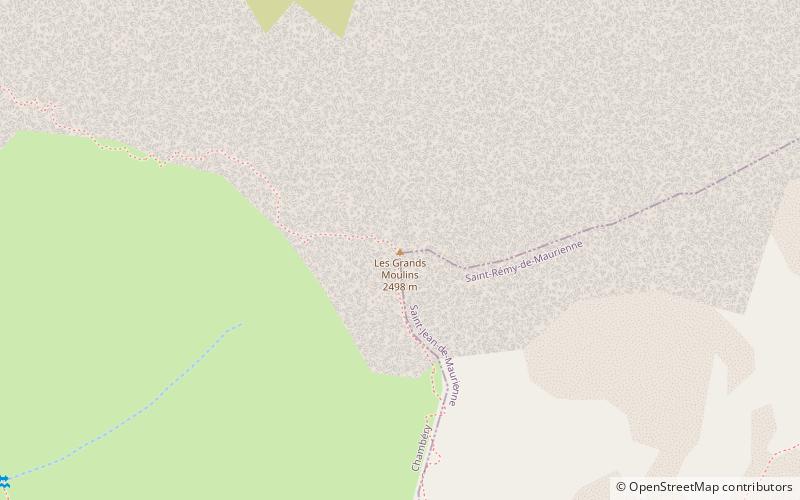
W pobliżu znajdują się m.in. takie atrakcje jak Cheval Noir Mountain, Les Grands Moulins, Pic du Frêne, Musée de l'Opinel.

  • cheval noir mountain7.5 miNE
  • les grands moulins6.5 miNW
  • pic du frene5.1 miW
  • musee de lopinel saint jean de maurienne5.3 miSE
  • musee des costumes saint jean de maurienne5.2 miSE
  • eglise saint theodule montgellafrey3.2 miN
  • saint jean de maurienne cathedral5.6 miSE
  • saint francois longchamp5.5 miNE
  • pomnika poleglych saint colomban des villards5.1 miSW
  • montaimont2.7 miNE

Gdzie dalej? Przejdź do strony regionu owernia rodan alpy Owernia-Rodan-Alpy lub zobacz wszystkie miejsca i atrakcje we Francji.