Ferme de Clastres, Sainte-Eulalie
Mapa
![Ferme de Clastres location map](https://tzmedia.b-cdn.net/media/images/static-maps/fr/44_8098_4_18943.jpg)
Mapa
![Ferme de Clastres location map](https://tzmedia.b-cdn.net/media/images/static-maps/fr/44_8098_4_18943.jpg)
Fakty i informacje praktyczne
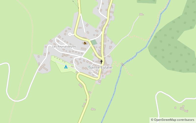
Gospodarstwo Clastres jest położone w miejscowości Sainte-Eulalie, we francuskim departamencie Ardèche.
Współrzędne: 44°48'35"N, 4°11'22"E
Adres
Sainte-Eulalie
KontaktDodaj
Media społecznościowe
Dodaj
Wycieczki jednodniowe
Ferme de Clastres – popularne w okolicy (odległości od atrakcji)
W pobliżu znajdują się m.in. takie atrakcje jak Mont Gerbier de Jonc, Mazan Abbey, Kościół św. Andrzeja, Le Béage.