Trek Zone

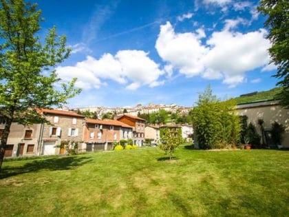
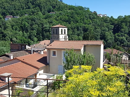
Sainte-Agathe, Thiers
Nr 4 wśród atrakcji w lokalizacji Thiers

Obszar
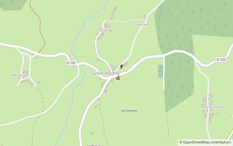
Sainte-Agathe location map
Mapa

Fakty i informacje praktyczne

Inne nazwy: Powierzchnia: 7.07 mi²Współrzędne: 45°49'19"N, 3°36'47"E
Adres

Thiers Francja

KontaktDodaj
Media społecznościowe
Dodaj
Wycieczki jednodniowe

Sainte-Agathe – popularne w okolicy (odległości od atrakcji)

W pobliżu znajdują się m.in. takie atrakcje jak Cutlery Museum, La Vallée des Rouets, Château d'Aulteribe, Celles-sur-Durolle.

  • cutlery museum thiers3.8 miNW
  • la vallee des rouets thiers3.2 miNW
  • chateau daulteribe sermentizon6.4 miSW
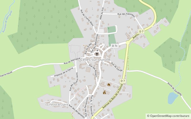
  • celles sur durolle saint remy sur durolle location map
    2.7 miNE
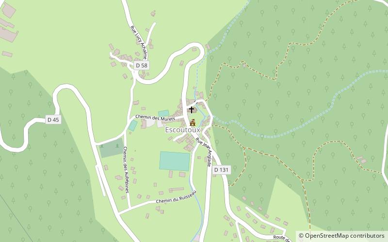
  • escoutoux thiers location map
    2.4 miW
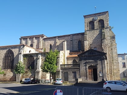
  • eglise saint genes thiers3.8 miNW
  • maison de laventure industrielle thiers3.6 miNW
  • hotel de ville de thiers3.9 miNW
  • kosciol sw marcina courpiere5.9 miSW
  • kosciol sw jana thiers3.7 miNW
  • pomnika poleglych courpiere5.9 miSW

Gdzie dalej? Przejdź do strony regionu owernia rodan alpy Owernia-Rodan-Alpy lub zobacz wszystkie miejsca i atrakcje we Francji.