Main Street, Vancouver
Mapa
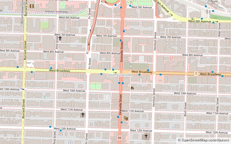
Mapa

Fakty i informacje praktyczne
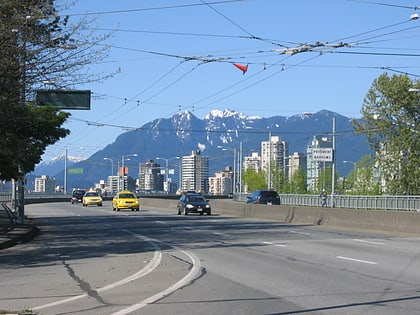
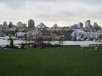
Main Street to główna arteria komunikacyjna łącząca północ z południem Vancouver, Kolumbia Brytyjska, Kanada. Biegnie od Waterfront Road przez Burrard Inlet na północy do Kent Avenue wzdłuż północnego ramienia rzeki Fraser na południu.
Współrzędne: 49°15'49"N, 123°8'20"W
Adres
FairviewVancouver
KontaktDodaj
Media społecznościowe
Dodaj
Wycieczki jednodniowe
Main Street – popularne w okolicy (odległości od atrakcji)
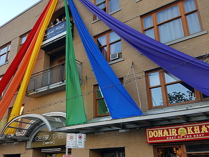
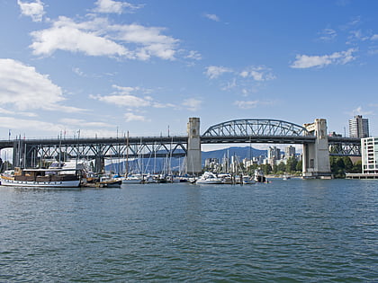
W pobliżu znajdują się m.in. takie atrakcje jak Celebrities Nightclub, Vancouver Maritime Museum, Burrard Street Bridge, Museum of Vancouver.
Często zadawane pytania (FAQ)
Jakie popularne atrakcje znajdują się w pobliżu?
Do pobliskich atrakcji należą m.in. Douglas Reynolds Gallery, Vancouver (3 min spacerem), Lattimer Gallery, Vancouver (11 min spacerem), Hycroft Gallery, Vancouver (12 min spacerem), Gallery of BC Ceramics, Vancouver (13 min spacerem).
Jak dojechać transportem publicznym?
Stacje i przystanki znajdujące się w pobliżu lokalizacji Main Street:
Autobusy
Trolejbusy
Prom
Metro
Autobusy
- West Broadway at Granville Street • Linie: 99 (1 min spacerem)
- Granville Street at West Broadway • Linie: N10 (1 min spacerem)
Trolejbusy
- West Broadway at Granville Street • Linie: 9 (1 min spacerem)
- Granville Street at West Broadway • Linie: 10, 16 (1 min spacerem)
Prom
- Granville Island Terminal • Linie: Aquabus (17 min spacerem)
- Granville Island Dock • Linie: False Creek Ferries Route 1, False Creek Ferries Route 2, False Creek Ferries Route 3 (18 min spacerem)
Metro
- Yaletown-Roundhouse • Linie: Canada Line (28 min spacerem)
- Olympic Village • Linie: Canada Line (28 min spacerem)

 SkyTrain