Trek Zone

London Road, Lethbridge

Nr 35 wśród atrakcji w lokalizacji Lethbridge

Okolica
London Road location map
Mapa

Fakty i informacje praktyczne

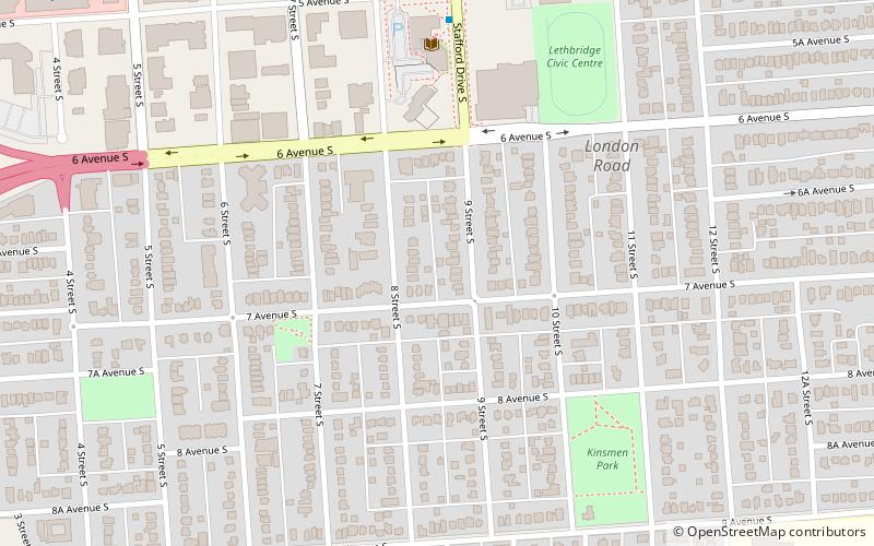
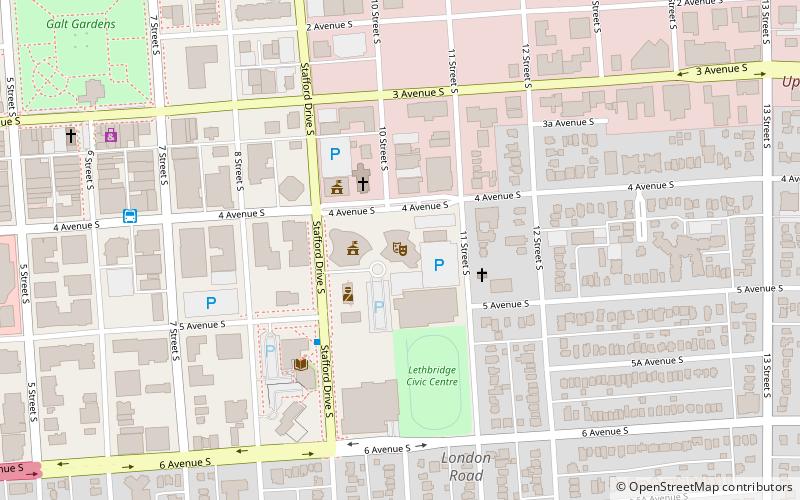
London Road to jedna z najstarszych dzielnic Lethbridge w Albercie. Znajduje się w południowym Lethbridge i graniczy z centrum miasta, a także z Midtown i Upper East Side. Jest to obszar w kształcie litery L, który wyznaczają ulice: 6 Avenue, Stafford Drive, 3 Avenue, 13 Street, 9 Avenue i Scenic Drive.

Współrzędne: 49°41'22"N, 112°50'2"W
Adres

London RoadLethbridge Kanada

KontaktDodaj
Media społecznościowe
Dodaj
Wycieczki jednodniowe

London Road – popularne w okolicy (odległości od atrakcji)

W pobliżu znajdują się m.in. takie atrakcje jak Galt Museum & Archives, Park Place Mall, Fort Whoop-Up, Lethbridge Country Club.

  • galt museum archives lethbridge0.6 miNW
  • park place mall lethbridge0.7 miNW
  • fort whoop up lethbridge1 miW
  • lethbridge country club1.3 miS
  • indian battle park lethbridge1.2 miW
  • lethbridge centre location map
    0.4 miNW
  • southern alberta art gallery lethbridge location map
    0.5 miNW
  • oldman river valley parks system lethbridge1.3 miW
  • galt gardens lethbridge0.6 miNW
  • genevieve e yates memorial centre lethbridge location map
    ~1710 ftN
  • nikka yuko japanese garden lethbridge1.2 miE

Często zadawane pytania (FAQ)

Jakie popularne atrakcje znajdują się w pobliżu?

Do pobliskich atrakcji należą m.in. Lethbridge Public Library, Lethbridge (6 min spacerem), City of Lethbridge- City Hall, Lethbridge (8 min spacerem), Genevieve E. Yates Memorial Centre, Lethbridge (9 min spacerem), Casa, Lethbridge (13 min spacerem).

Gdzie dalej? Przejdź do strony regionu alberta Alberta lub zobacz wszystkie miejsca i atrakcje w Kanadzie.