West Huntington Bridge, Huntington
Mapa
Fakty i informacje praktyczne
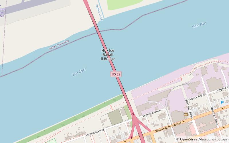
Most West Huntington to dwupasmowy most wspornikowy o długości 562 stóp, znajdujący się po zachodniej stronie Huntington w Wirginii Zachodniej w Stanach Zjednoczonych. Przecina rzekę Ohio i prowadzi drogę U.S. Route 52 pomiędzy Ohio State Route 7 a Interstate 64.
Współrzędne: 38°24'57"N, 82°29'10"W
Dojazd komunikacją publiczną
Przystanki transportu publicznego w pobliżu tego miejsca
- Autobusy
 Autobusy
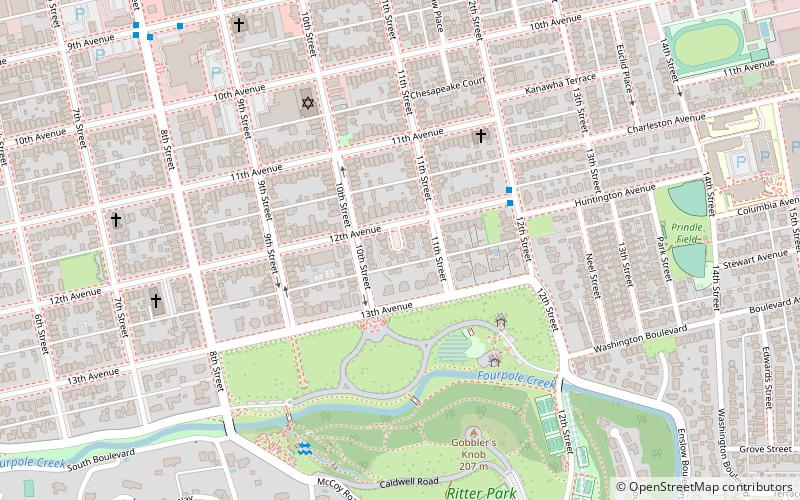
- Wyznacz trasęAdams Avenue & 18th Street West 10 min spacerem
- Wyznacz trasęWashington Avenue & 11th Street West & Dutch Miller 15 min spacerem
Wycieczki jednodniowe


Często zadawane pytania (FAQ)
Jak dojechać transportem publicznym?
Stacje i przystanki znajdujące się w pobliżu lokalizacji West Huntington Bridge:
Autobusy
Autobusy
- Adams Avenue & 18th Street West • Linie: 1 (10 min spacerem)
- Washington Avenue & 11th Street West & Dutch Miller • Linie: 1 (15 min spacerem)