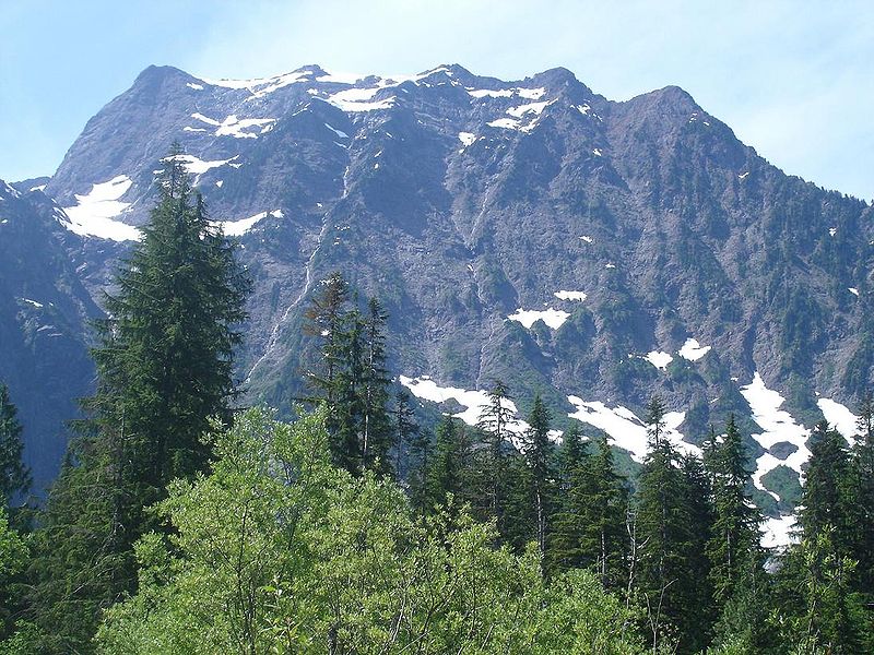
Big Four Mountain, Mount Baker-Snoqualmie National Forest

Galeria (2)
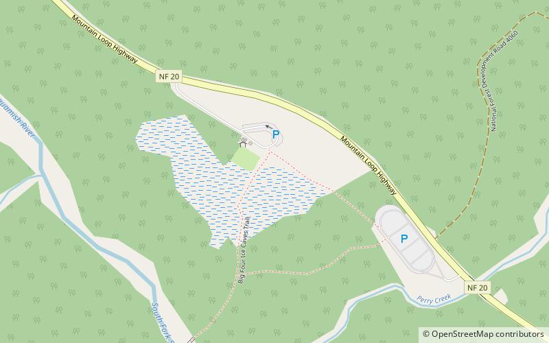
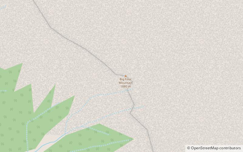
Mapa
Mapa
Galeria
Fakty i informacje praktyczne
Big Four Mountain – góra w USA, w stanie Waszyngton, położona 31 km na wschód od stratowulkanu Glacier Peak. Wierzchołek leży na terenie hrabstwa Snohomish. ()
Inne nazwy: Pierwsze wejście: 1931 r.Wysokość n.p.m.: 6160 ftWybitność szczytu: 1080 ftWspółrzędne: 48°2'30"N, 121°31'26"W
Adres
Mount Baker-Snoqualmie National Forest
KontaktDodaj
Media społecznościowe
Dodaj
Wycieczki jednodniowe