Ambler Heights Historic District, Cleveland
Mapa
Mapa

Fakty i informacje praktyczne
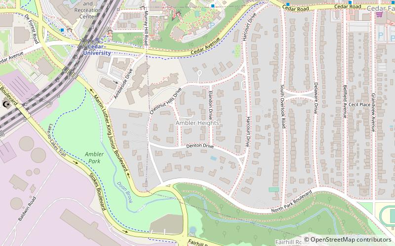
Ambler Heights Historic District to historyczna dzielnica w Cleveland Heights w stanie Ohio, w Stanach Zjednoczonych. Wpisana na listę National Register of Historic Places w 2002 roku, obejmuje 112 budynków na obszarze 73 akrów, które powstały w latach 1903-1927.
Współrzędne: 41°29'50"N, 81°36'3"W
Adres
Ambler HeightsCleveland
KontaktDodaj
Media społecznościowe
Dodaj
Wycieczki jednodniowe
Ambler Heights Historic District – popularne w okolicy (odległości od atrakcji)
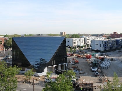
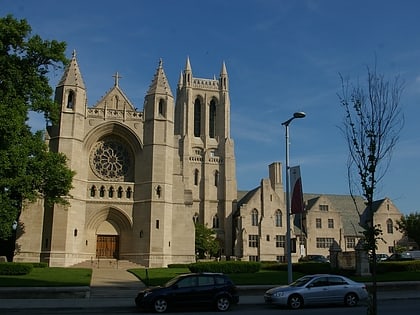
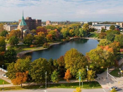
W pobliżu znajdują się m.in. takie atrakcje jak Cleveland Museum of Art, Wade Park, Museum of Contemporary Art Cleveland, Church of the Covenant.
Często zadawane pytania (FAQ)
Jakie popularne atrakcje znajdują się w pobliżu?
Do pobliskich atrakcji należą m.in. Cedar Glen Apartments, Cleveland (6 min spacerem), Fairhill Road Village, Cleveland (10 min spacerem), Pierwszy Kościół Chrystusa, Cleveland (11 min spacerem), Children's Museum of Cleveland, Cleveland (18 min spacerem).
Jak dojechać transportem publicznym?
Stacje i przystanki znajdujące się w pobliżu lokalizacji Ambler Heights Historic District:
Metro
Autobusy
Kolej miejska
Metro
- Cedar–University • Linie: Red (8 min spacerem)
- East 105th–Quincy • Linie: Red (21 min spacerem)
Autobusy
- Cedar–University • Linie: 8 (10 min spacerem)
- East 105th Street (22 min spacerem)
Kolej miejska
- East 116th–St. Luke’s • Linie: 67Ax, 67AX Blue, Blue, Green (24 min spacerem)
- Shaker Square • Linie: 67Ax, 67AX Blue, Blue, Green (27 min spacerem)


