Allandale, Austin

Fakty i informacje praktyczne
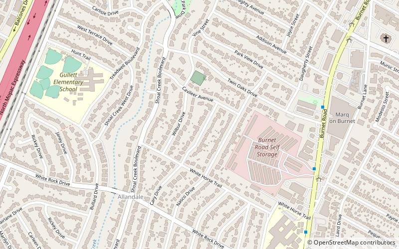
Allandale, Austin, Teksas to dzielnica w północno-centralnym Austin, w amerykańskim stanie Teksas, znana z dużych działek, dojrzałych drzew i centralnej lokalizacji.
Granice dzielnicy Allandale to Burnet Road i dzielnice Brentwood i Crestview od wschodu, Mopac Expressway i dzielnica Northwest Hills od zachodu, 45th Street i dzielnica Rosedale od południa oraz West Anderson Lane i dzielnica North Shoal Creek od północy. Dzielnicę przecina Shoal Creek Blvd i jej imiennik, wieloletni Shoal Creek.
Central Austin (Allandale)Austin
Allandale – popularne w okolicy (odległości od atrakcji)
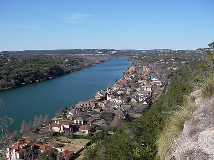
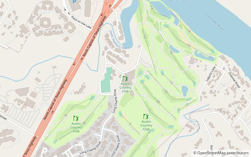
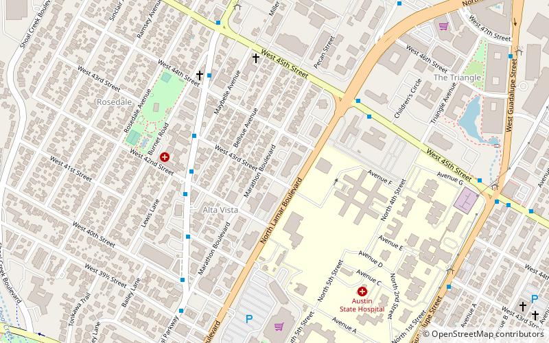
W pobliżu znajdują się m.in. takie atrakcje jak Mount Bonnell, Austin Country Club, Highland Mall, Elisabet Ney Museum.
Często zadawane pytania (FAQ)
Jakie popularne atrakcje znajdują się w pobliżu?
Jak dojechać transportem publicznym?
Autobusy
- 6714 Wood Hollow/Far West • Linie: 661, 681 (23 min spacerem)
- 3600 North Hills/Village Center • Linie: 661, 681 (26 min spacerem)


