Thornthwaite Crag, Ambleside

Galeria (1)
Mapa
Mapa
Fakty i informacje praktyczne
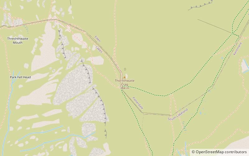
Thornthwaite Crag to wzniesienie w angielskim Lake District, położone na zachód od zbiornika Haweswater. Jest to centralny punkt pasma Far Eastern Fells, leżący na czele kilku dolin.
Wysokość n.p.m.: 2572 ftWybitność szczytu: 98 ftWspółrzędne: 54°28'57"N, 2°52'44"W
Adres
Ambleside
KontaktDodaj
Media społecznościowe
Dodaj
Wycieczki jednodniowe


