East Hertfordshire District Council, Hertford
Fakty i informacje praktyczne
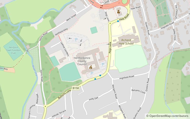
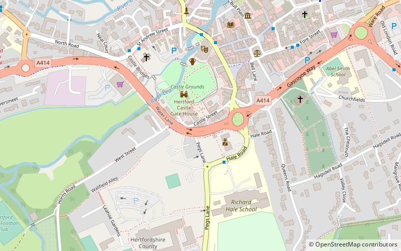
Rada Dystryktu East Hertfordshire jest władzą lokalną dla niemetropolitalnego dystryktu East Hertfordshire w Anglii, w Zjednoczonym Królestwie. East Hertfordshire obejmuje większą część wschodniej części hrabstwa Hertfordshire, w regionie East of England. W skład tego obszaru wchodzą: miasto hrabstwa Hertford, największe miasto dystryktu Bishop's Stortford, Ware, Sawbridgeworth, Buntingford oraz sąsiednie wioski.
Rada jest odpowiedzialna za szereg usług lokalnych, w tym wywóz śmieci i recykling, planowanie, nadzór budowlany, wydawanie pozwoleń, budownictwo mieszkaniowe, parkowanie i pobieranie podatku. Oficjalnie rada nazywa się "East Hertfordshire District Council", ale jej nazwa to "East Herts Council". Nazwa "East Herts Council" jest powszechnie używana w lokalnej prasie, a nazwa "East Herts" jest używana przez wiele innych lokalnych organizacji jako termin geograficzny.
Rada jest obecnie kontrolowana przez konserwatystów, którzy w ostatnich wyborach w 2019 roku zdobyli 40 z 50 miejsc w radzie.
- Autobusy
- Kolej
 Autobusy
- Wyznacz trasęBus Station 13 min spacerem
- Wyznacz trasęHertford Bus Station 13 min spacerem
- Wyznacz trasęHertford East 17 min spacerem
- Wyznacz trasęHertford North 18 min spacerem


Często zadawane pytania (FAQ)
Jakie popularne atrakcje znajdują się w pobliżu?
Jak dojechać transportem publicznym?
Autobusy
- Bus Station • Linie: 10, 724 (13 min spacerem)
- Hertford Bus Station (13 min spacerem)
Kolej
- Hertford East (17 min spacerem)
- Hertford North (18 min spacerem)