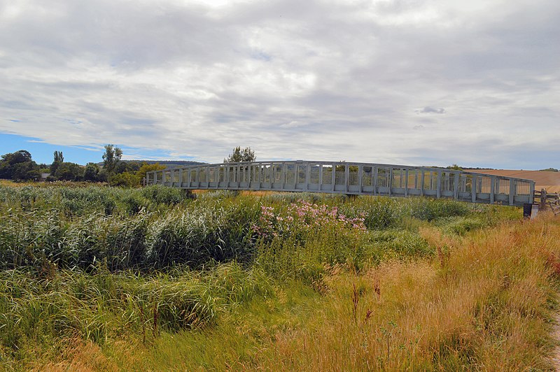
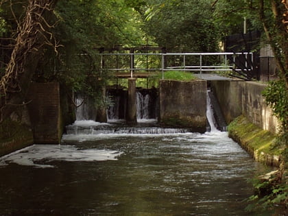
South Downs Way, Winchester
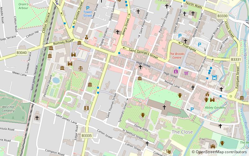
Mapa
Galeria
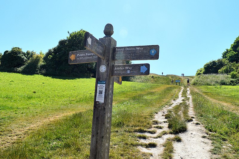
Fakty i informacje praktyczne
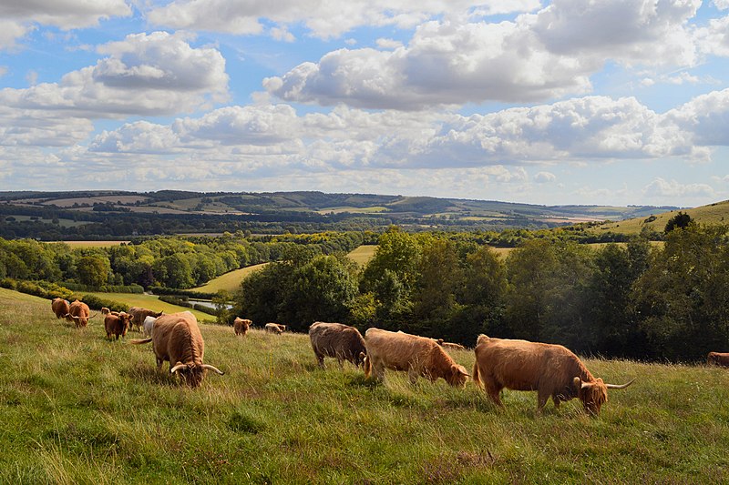
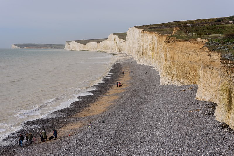
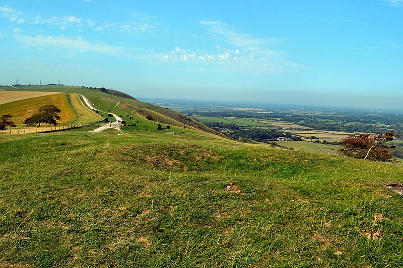
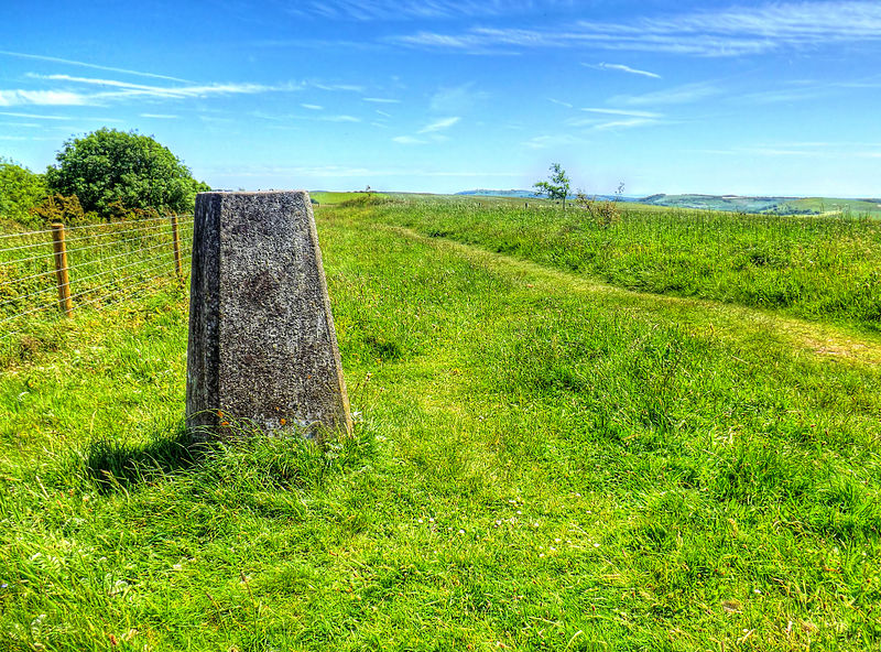
The South Downs Way to długodystansowy szlak pieszy i bridleway biegnący wzdłuż South Downs w południowej Anglii. Jest jednym z 16 Szlaków Narodowych w Anglii i Walii. Szlak biegnie na odcinku 160 km od Winchester w Hampshire do Eastbourne w East Sussex, a jego przewyższenia i zejścia wynoszą około 4 150 m.
Długość: 100.04 miMaksymalna wysokość: 886 ftSezon: Cały rokWspółrzędne: 51°3'47"N, 1°18'25"W
Adres
Winchester
KontaktDodaj
Media społecznościowe
Dodaj
Wycieczki jednodniowe
South Downs Way – popularne w okolicy (odległości od atrakcji)
W pobliżu znajdują się m.in. takie atrakcje jak Katedra, Itchen Navigation, Clarendon Way, Wolvesey Castle.
Często zadawane pytania (FAQ)
Jakie popularne atrakcje znajdują się w pobliżu?
Do pobliskich atrakcji należą m.in. Winchester city walls, Winchester (2 min spacerem), Kościół św. Jana Chrzciciela, Winchester (2 min spacerem), Winchester City Mill, Winchester (4 min spacerem), Winchester Guildhall, Winchester (5 min spacerem).
Jak dojechać transportem publicznym?
Stacje i przystanki znajdujące się w pobliżu lokalizacji South Downs Way:
Autobusy
Kolej
Autobusy
- Winchester Bus Station (4 min spacerem)
- Winchester Bus Station -A • Linie: 1 (5 min spacerem)
Kolej
- Winchester (17 min spacerem)


