Geltsdale & Glendue Fells, Geltsdale RSPB reserve

Galeria (1)
Mapa
Mapa
Fakty i informacje praktyczne
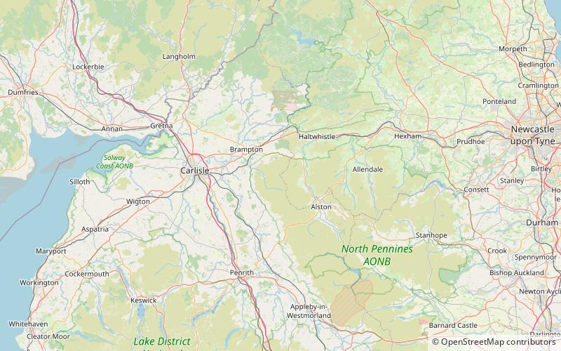
Geltsdale & Glendue Fells to teren o szczególnym znaczeniu naukowym w North Pennines w Anglii. Obszar ten ma powierzchnię 8059 ha, częściowo w Cumbrii, a częściowo w Northumberland.
Współrzędne: 54°52'60"N, 2°36'0"W
Adres
Geltsdale RSPB reserve
KontaktDodaj
Media społecznościowe
Dodaj
Wycieczki jednodniowe


