Cochrane Street, Glasgow
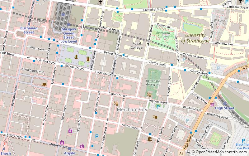
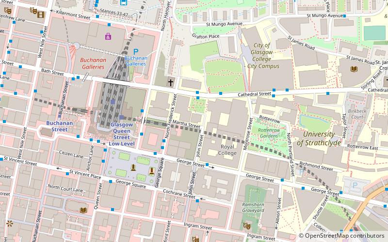
Mapa
Fakty i informacje praktyczne
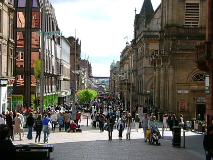
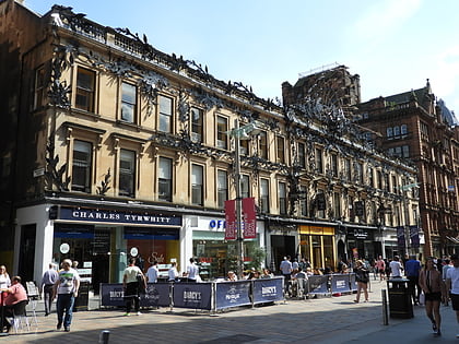
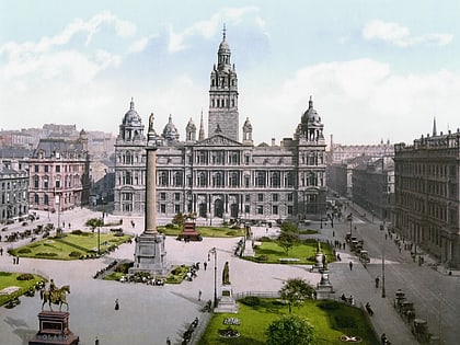
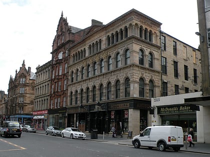
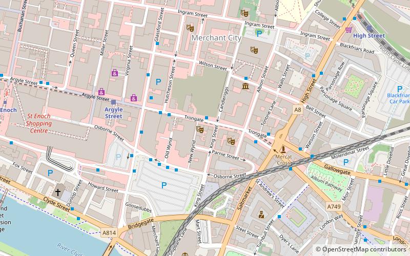
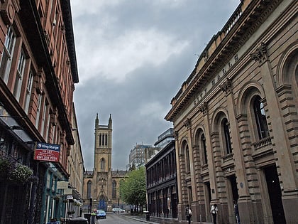
Cochrane Street to główna arteria komunikacyjna w Glasgow, największym mieście Szkocji. Ulica biegnie na wschód od skrzyżowania George Square i South Frederick Street przez Merchant City aż do skrzyżowania z Montrose Street.
Współrzędne: 55°51'37"N, 4°14'49"W
Adres
City Centre (Merchant City)Glasgow
KontaktDodaj
Media społecznościowe
Dodaj
Wycieczki jednodniowe
Cochrane Street – popularne w okolicy (odległości od atrakcji)
W pobliżu znajdują się m.in. takie atrakcje jak Buchanan Street, Gallery of Modern Art, Princes Square, George Square.
Często zadawane pytania (FAQ)
Jakie popularne atrakcje znajdują się w pobliżu?
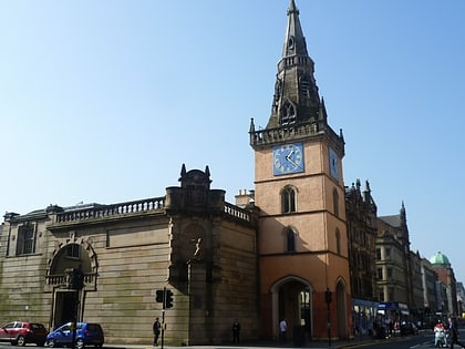
Do pobliskich atrakcji należą m.in. Hutchesons' Hall, Glasgow (1 min spacerem), City Chambers, Glasgow (2 min spacerem), Ramshorn Theatre, Glasgow (3 min spacerem), Ramshorn Cemetery, Glasgow (3 min spacerem).
Jak dojechać transportem publicznym?
Stacje i przystanki znajdujące się w pobliżu lokalizacji Cochrane Street:
Autobusy
Kolej
Metro
Autobusy
- Glassford Street / Garth Street • Linie: 2 (4 min spacerem)
- George Square / North Hanover Street • Linie: 6A (4 min spacerem)
Kolej
- Glasgow Queen Street (7 min spacerem)
- Argyle Street (7 min spacerem)
Metro
- Buchanan Street • Linie: Subway (8 min spacerem)
- St Enoch • Linie: Subway (10 min spacerem)
