Martin Goodman Trail, Toronto
Fakten und Informationen
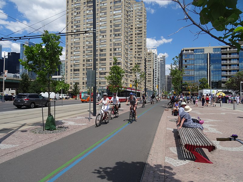
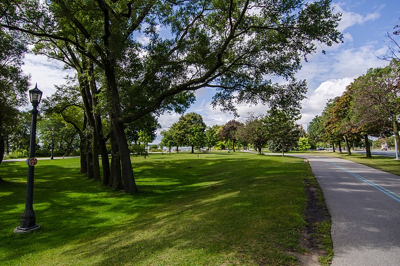
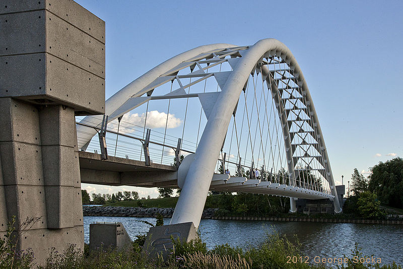
Der Martin Goodman Trail ist eine malerische Fahrradroute, die sich entlang der Uferpromenade von Toronto erstreckt und Radfahrern sowie Spaziergängern eine einzigartige Möglichkeit bietet, die Schönheit des Ontariosees zu genießen. Der Weg ist nach Martin Goodman benannt, einem ehemaligen Präsidenten der Toronto Star Zeitung, und ist Teil des größeren Waterfront Trail Systems, das sich entlang des kanadischen Ufers des Ontariosees erstreckt.
Die Route des Martin Goodman Trails ist etwa 56 Kilometer lang und führt von der östlichen Grenze Torontos bis nach Mississauga im Westen. Sie ist durchgehend asphaltiert und für Radfahrer aller Leistungsniveaus geeignet. Der Weg bietet nicht nur eine hervorragende Gelegenheit für Freizeitaktivitäten und Sport, sondern ist auch eine beliebte Pendlerstrecke für die Einwohner Torontos, die das Radfahren als umweltfreundliche Alternative zum Autofahren nutzen.
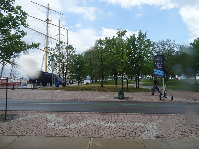
Längs des Weges finden sich zahlreiche Parks und Strände, die zum Verweilen und Entspannen einladen, sowie eine Vielzahl von Cafés und Restaurants, die für das leibliche Wohl der Besucher sorgen. Darüber hinaus bieten Aussichtspunkte entlang der Route spektakuläre Blicke auf die Skyline von Toronto und die ruhigen Gewässer des Sees.
Martin Goodman Trail – beliebt in der gegend (entfernung vom objekt)
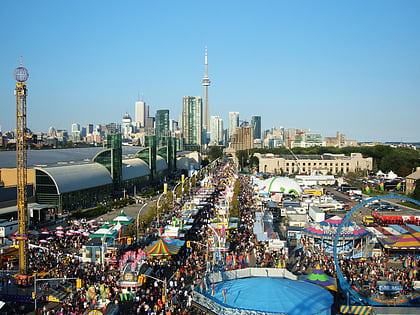
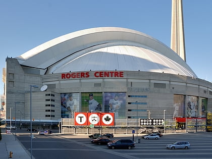
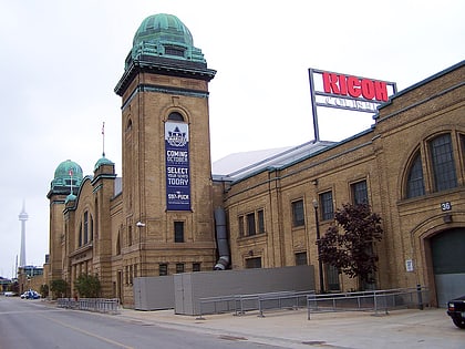
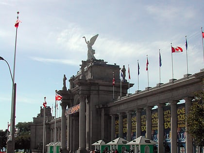
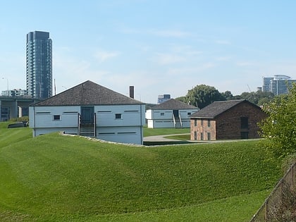
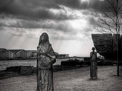
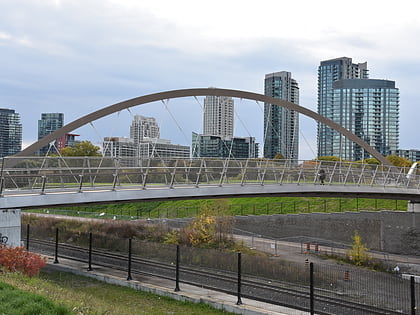
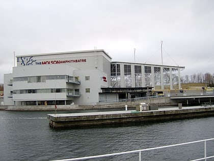
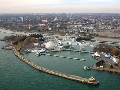
In der Nähe befinden sich unter anderem Attraktionen wie: Exhibition Place, Rogers Centre, BMO Field, Coca-Cola Coliseum.
Häufig gestellte Fragen (FAQ)
Welche beliebten Attraktionen gibt es in der Nähe?
Wie kommt man mit öffentlichen Verkehrsmitteln dorthin?
Straßenbahnen
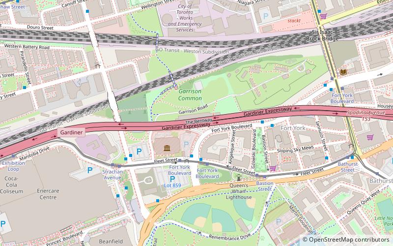
- Bastion Street • Linien: 509, 511 (5 Min. Fußweg)
- Fort York Boulevard • Linien: 509, 511 (7 Min. Fußweg)
Busse
- Fleet Street • Linien: 363 (8 Min. Fußweg)
- Exhibition Loop • Linien: 363 (17 Min. Fußweg)
Fähre
- Bathurst Street Terminal • Linien: Billy Bishop Airport Ferry (9 Min. Fußweg)
- Billy Bishop Terminal • Linien: Billy Bishop Airport Ferry (11 Min. Fußweg)
Bahn
- Exhibition (19 Min. Fußweg)
Metro
- St. Andrew • Linien: 1 (36 Min. Fußweg)



 Metro
Metro Straßenbahn
 PATH
PATH