Trek Zone

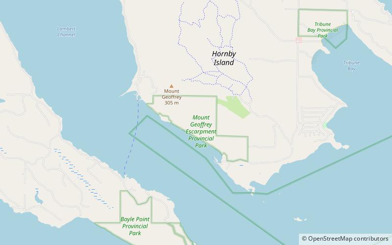
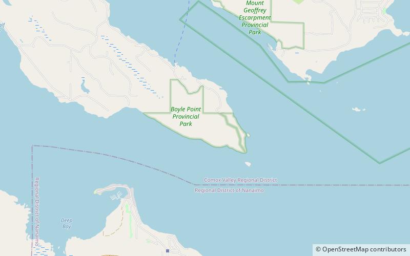
Boyle Point Provincial Park and Protected Area, Denman Island

Nr. 2 unter den Attraktionen in Denman Island

Park, Entspannen im Park
Boyle Point Provincial Park and Protected Area location map
Karte

Fakten und Informationen

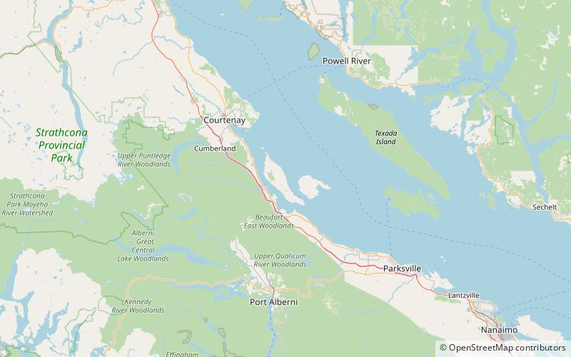
Boyle Point Provincial Park and Protected Area ist ein Provinzpark in British Columbia, Kanada, am südlichen Ende von Denman Island im westlichen Golf von Georgia.

Höhe: 141 ft ü. d. M.Koordinaten: 49°28'48"N, 124°41'56"W
Adresse

Denman Island Kanada

Kontakt
Soziale Medien
Hinzufügen
Tagesausflüge

Boyle Point Provincial Park and Protected Area – beliebt in der gegend (entfernung vom objekt)

In der Nähe befinden sich unter anderem Attraktionen wie: Fillongley Provincial Park, Deep Bay Marine Field Station, Rosewall Creek Provincial Park, Chrome Island lighthouse.

  • fillongley provincial park denman island location map
    5.2 miNW
  • deep bay marine field station lighthouse country2.2 miSW
  • rosewall creek provincial park3.9 miSW
  • chrome island lighthouse0.9 miSE
  • mount geoffrey escarpment provincial park hornby island location map
    1.9 miN
  • mount geoffrey regional nature park hornby island location map
    2.7 miN
  • helliwell provincial park4.7 miE
  • fanny bay5.8 miW

Wohin als nächstes? Gehen Sie auf die Seite der Region british columbia British Columbia oder sehen Sie sich alle Orte und Sehenswürdigkeiten in Kanada an.