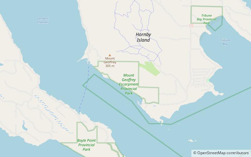
Mount Geoffrey Escarpment Provincial Park, Hornby Island
Karte
Fakten und Informationen
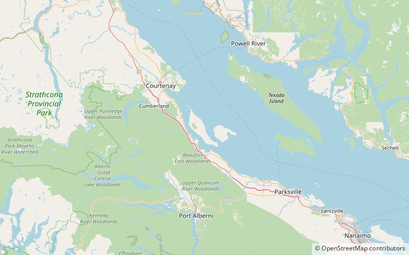
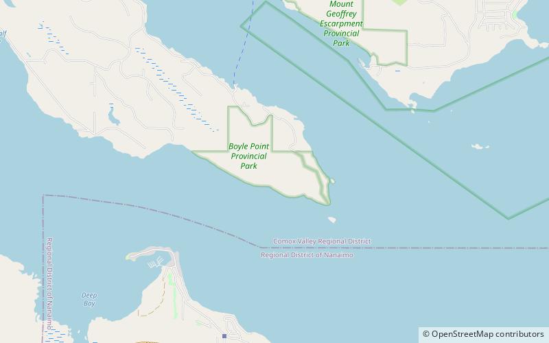
Der Mount Geoffrey Escarpment Provincial Park ist ein Provinzpark der Klasse A in British Columbia, Kanada, der sich an der Südwestküste von Hornby Island befindet. Er umfasst eine Fläche von 187 Hektar und erstreckt sich von der Fähranlegestelle Shingle Spit im Westen bis zur Ford Cove im Osten.
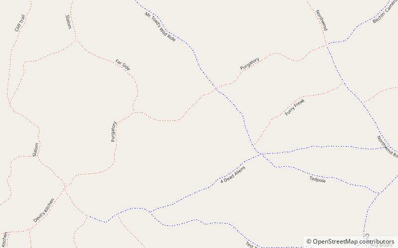
Es gibt Möglichkeiten zum Wandern, Mountainbiken, Kanufahren, Angeln, Sightseeing, Schwimmen im offenen Wasser und Reiten.
Etabliert: 17 Mai 2004 (vor 21 Jahren)Koordinaten: 49°30'22"N, 124°41'2"W
Tagesausflüge
Mount Geoffrey Escarpment Provincial Park – beliebt in der gegend (entfernung vom objekt)
In der Nähe befinden sich unter anderem Attraktionen wie: Fillongley Provincial Park, Deep Bay Marine Field Station, Rosewall Creek Provincial Park, Chrome Island lighthouse.