Newcastle Road, Sunderland
Datos e información práctica
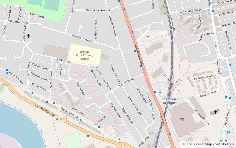
Newcastle Road era un campo de fútbol en la zona de Monkwearmouth, Inglaterra, y fue el campo del Sunderland A.F.C durante doce años, entre 1886 y 1898. Era el sexto campo en el que jugaba el club. También llamado Ashville Ground, estaba situado entre Newcastle Road, Eglinton Street North y Crozier Street. El primer partido del Sunderland AFC en este campo fue un amistoso contra el Birtley el 10 de abril de 1886. El partido terminó con un empate a 3. El 5 de mayo de 1888, el ya desaparecido Sunderland Albion F.C. jugó su partido inaugural en Newcastle Road; una victoria por 3 a 0 sobre el Shankhouse Blackwatch, aunque el Albion pasaría a jugar sus partidos en casa en el anterior campo del Sunderland AFC, Blue House Field.
El Sunderland AFC se convirtió en el principal inquilino de Newcastle Road, y al principio jugaba una mezcla de partidos amistosos y de la Durham Challenge Cup. El 30 de octubre de 1886, Newcastle Road acogió el primer partido en casa del Sunderland en la FA Cup; una victoria por 2 a 1 contra el Newcastle West End F.C. Los propietarios del terreno, los astilleros Thompson Sisters, cobraron al club un alquiler de 15 libras el primer año, y se contrató a trabajadores de los astilleros Thompson para que ayudaran a construir las gradas.
El Sunderland se unió a la Liga de Fútbol en 1890, y su primer partido de liga en casa fue una derrota contra el Burnley el 13 de septiembre de ese año. Seis meses más tarde, en marzo de 1891, el primer partido internacional de Inglaterra celebrado en Sunderland se jugó en Newcastle Road, donde 15.000 espectadores vieron cómo Inglaterra ganaba por 4-1 a Gales.
En su primera temporada en la Liga de Fútbol, el Sunderland consiguió una media de 6.091 espectadores en Newcastle Road. El campo tenía una capacidad estimada de 15.000 espectadores, pero a menudo admitía muchos más, incluyendo un récord de asistencia en el fútbol inglés de 21.000 personas para una eliminatoria de la FA Cup de 1891 contra el Everton F.C. En el transcurso de la siguiente década, el club registró una media de 7.450 espectadores en Newcastle Road, alcanzando un máximo de 11.033 en su última temporada. El Sunderland cosechó grandes éxitos durante su estancia en Newcastle Road, ganando el campeonato de liga en tres ocasiones y embarcándose en una racha de imbatibilidad en 81 partidos y anotando 270 goles en el proceso. El éxito le llevó a ser apodado "El equipo de todos los talentos", y el Sunderland pasó a ser el primer equipo inglés en coronarse campeón del mundo.
En 1896, el alquiler del terreno había subido a 100 libras, y el espacio para la expansión en Newcastle Road era limitado. Reconociendo la necesidad de crecimiento, la junta directiva se puso a buscar un nuevo hogar. El Sunderland se convirtió en una sociedad de responsabilidad limitada, consiguió financiación mediante la venta de acciones y compró tierras de cultivo en Roker para construir un nuevo estadio. El último partido de liga en Newcastle Road fue una victoria por 4-0 contra el Nottingham Forest F.C. el 23 de abril de 1898 y, en el verano de 1898, el Sunderland se trasladó a Roker Park, donde permanecería durante 99 años.
El campo aparece en un cuadro del artista Thomas M. M. Hemy, hermano de Charles Napier Hemy. La imagen representa un partido entre el Sunderland y el Aston Villa F.C. en 1895, y se cree que es la pintura más antigua de un partido de fútbol de la liga. El cuadro se colocó posteriormente en la recepción del Stadium of Light, actual sede del club.
Sunderland
- Autobuses
- Tren ligero
 Autobuses
- Determinar la rutaStadium of Light 5 min. a pie
- Determinar la rutaSt Peter's 15 min. a pie
- Determinar la rutaSeaburn 19 min. a pie
- Determinar la rutaSunderland 24 min. a pie
- Determinar la rutaSt Mary's Way 20 min. a pie
- Determinar la rutaSunderland Interchange Stand R 29 min. a pie
- Determinar la rutaSunderland Interchange 30 min. a pie
Newcastle Road – popular en la zona (distancia de esta atracción)
En las cercanías se encuentran, entre otras, atracciones como: Stadium of Light, Sunderland Aquatic Centre, The Bridges, Sunderland Museum and Winter Gardens.


Preguntas frecuentes (FAQs)
¿Qué atracciones populares hay cerca?
¿Cómo llegar en transporte público?
Tren ligero
- Stadium of Light • Líneas: Green (5 min. a pie)
- St Peter's • Líneas: Green (15 min. a pie)
Autobuses
- St Mary's Way • Líneas: 135 (20 min. a pie)
- Sunderland Interchange Stand R • Líneas: Sns (29 min. a pie)