City of Salford, Manchester
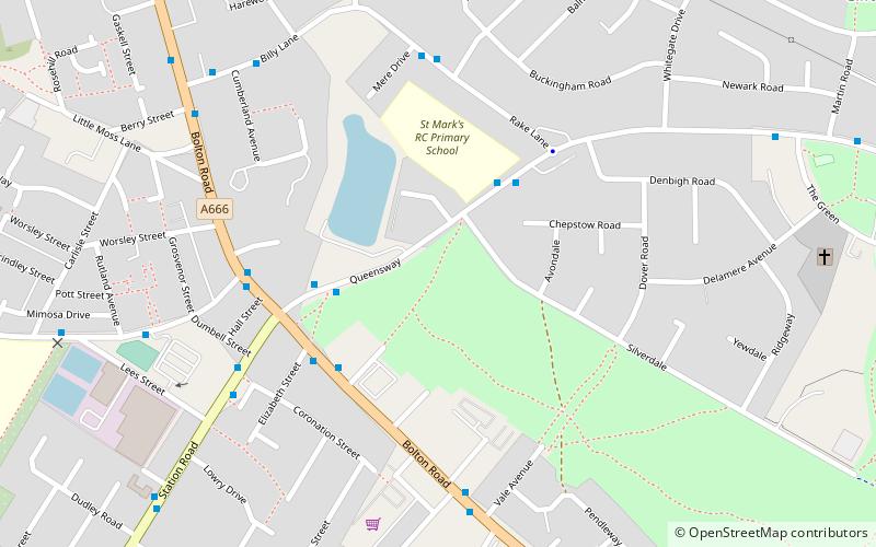
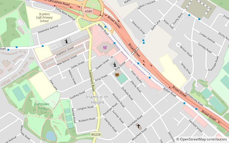
Mapa
Galeria
Fakty i informacje praktyczne
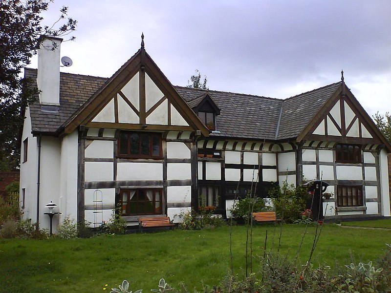
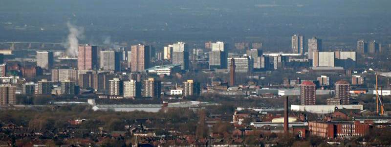
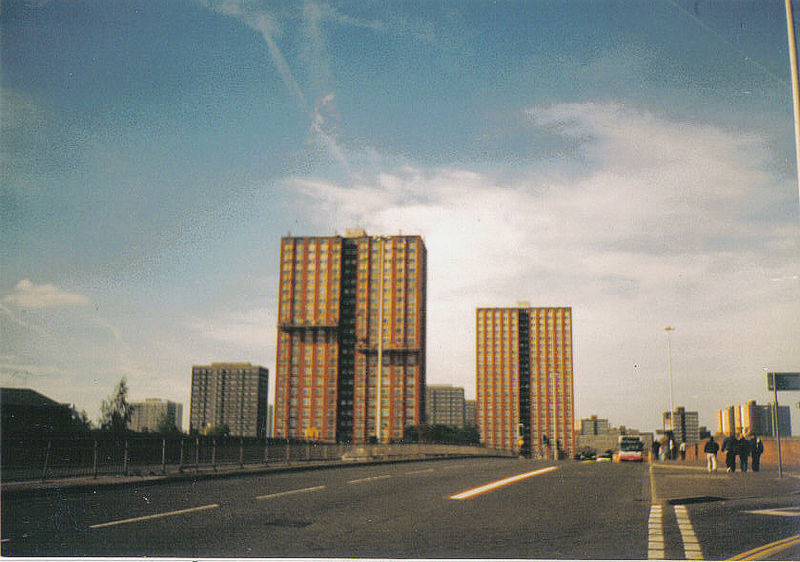
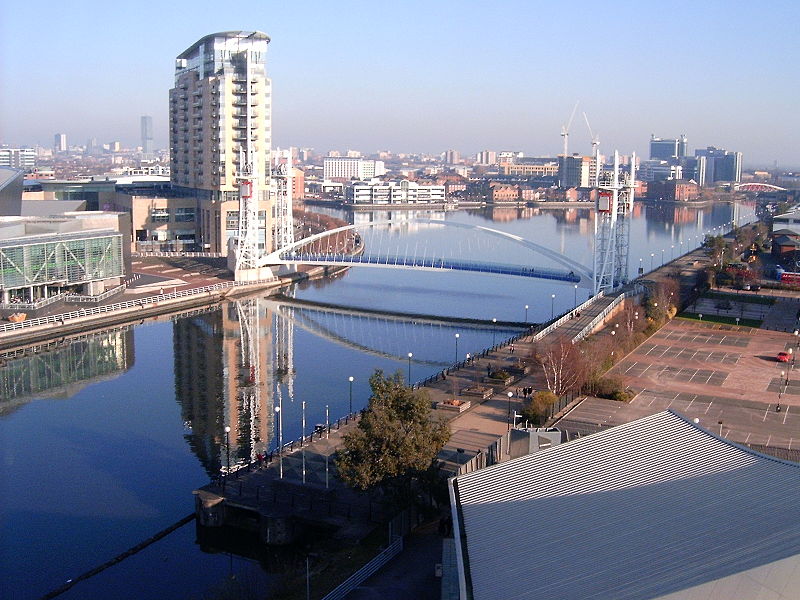
Salford – dystrykt metropolitalny w hrabstwie ceremonialnym Greater Manchester w Anglii. ()
Wycieczki jednodniowe
City of Salford – popularne w okolicy (odległości od atrakcji)
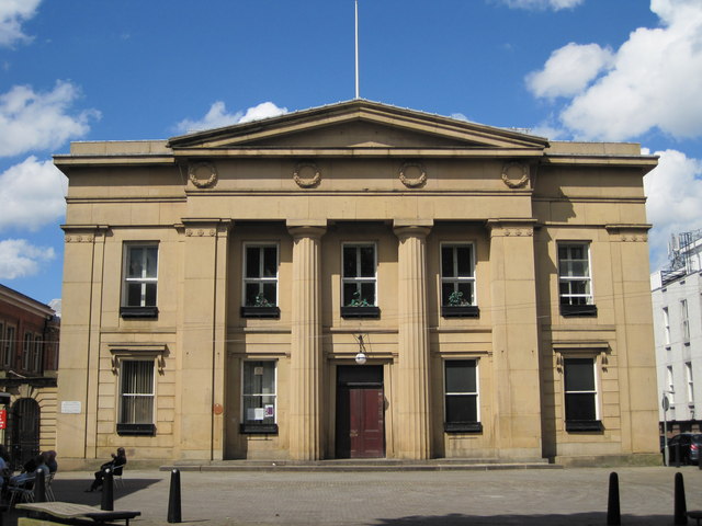
W pobliżu znajdują się m.in. takie atrakcje jak Salford Civic Centre, Victoria Park, Swinton, Pendlebury.
Często zadawane pytania (FAQ)
Jakie popularne atrakcje znajdują się w pobliżu?
Do pobliskich atrakcji należą m.in. Salford Civic Centre, Manchester (7 min spacerem), Swinton, Manchester (7 min spacerem), Victoria Park, Manchester (8 min spacerem), Pendlebury, Manchester (11 min spacerem).
Jak dojechać transportem publicznym?
Stacje i przystanki znajdujące się w pobliżu lokalizacji City of Salford:
Autobusy
Kolej
Autobusy
- Chorley Road/Swinton Post Office • Linie: 29 (3 min spacerem)
- Worsley Road/Chorley Road • Linie: 29 (4 min spacerem)
Kolej
- Swinton (10 min spacerem)
- Moorside (23 min spacerem)



 Metrolink
 Metrolink / Kolej miejska


