Irlams o' th' Height, Manchester
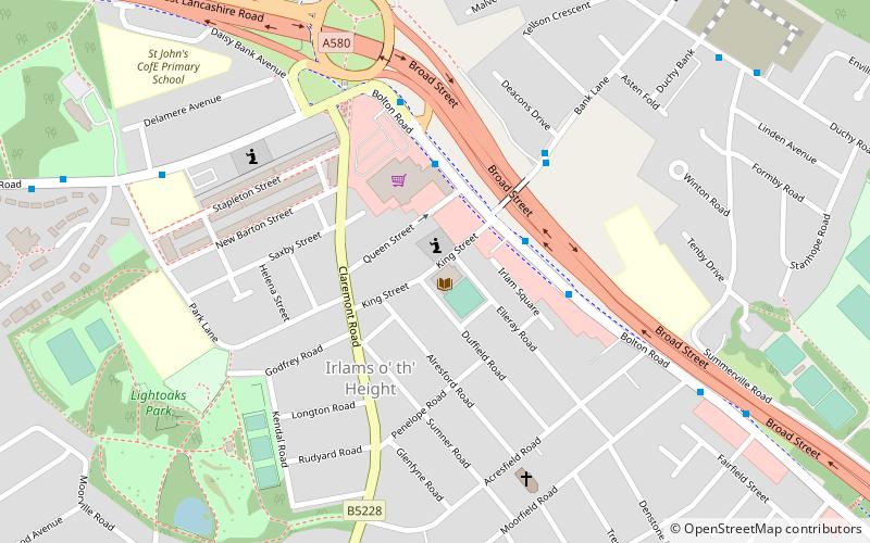
Mapa
Fakty i informacje praktyczne
Irlams o' th' Height to przedmieście miasta Salford w hrabstwie Greater Manchester w Anglii.
Współrzędne: 53°29'59"N, 2°18'32"W
Adres
Salford (Claremont)Manchester
KontaktDodaj
Media społecznościowe
Dodaj
Dojazd komunikacją publiczną
Przystanki transportu publicznego w pobliżu tego miejsca
- Autobusy
- Tramwaje
- Kolej
 Autobusy
- Wyznacz trasęBolton Road/Co-op Superstore 3 min spacerem
- Wyznacz trasęBank Lane/Deacons Drive 4 min spacerem
- Wyznacz trasęDuchy Road/Summerville Road 8 min spacerem
- Wyznacz trasęLadywell 34 min spacerem
- Wyznacz trasęEccles 40 min spacerem
- Wyznacz trasęEccles 37 min spacerem
- Wyznacz trasęSwinton 40 min spacerem
Mapy MetrolinkMapy
 Metrolink / Kolej miejska
MetrolinkMapyMetrolink / Kolej miejskaWycieczki jednodniowe


Często zadawane pytania (FAQ)
Jakie popularne atrakcje znajdują się w pobliżu?
Do pobliskich atrakcji należą m.in. Buile Hill Park, Manchester (17 min spacerem), Agecroft Cemetery, Manchester (24 min spacerem).
Jak dojechać transportem publicznym?
Stacje i przystanki znajdujące się w pobliżu lokalizacji Irlams o' th' Height:
Autobusy
Tramwaje
Kolej
Autobusy
- Bolton Road/Co-op Superstore • Linie: 74 (3 min spacerem)
- Bank Lane/Deacons Drive • Linie: 74 (4 min spacerem)
Tramwaje
- Ladywell • Linie: Asht, Eccl (34 min spacerem)
- Eccles • Linie: Asht, Eccl (40 min spacerem)
Kolej
- Eccles (37 min spacerem)
- Swinton (40 min spacerem)