Khair Khaneh, Kabul
Map
Map

Facts and practical information
Khair Khaneh is an archaeological site located near Kabul, Afghanistan. A Brahmanical Temple was excavated there in the 1930s by Joseph Hackin. The construction of the Khair Khaneh temple itself is dated to 608-630 CE, at the beginning of the Turk Shahis period. Most of the remains, including marble statuettes, date to the 7th–8th century, during the time of the Turk Shahi. ()
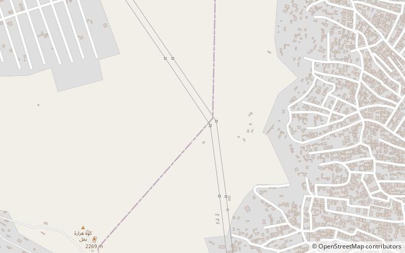
Coordinates: 34°35'51"N, 69°6'32"E
Address
Kabul
ContactAdd
Social media
Add
Day trips
Khair Khaneh – popular in the area (distance from the attraction)
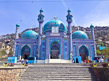
Nearby attractions include: National Archives of Afghanistan, Kabul City Center, Bagh-e Bala Palace, Sakhi Shrine.

